West Peninsula, Malaysia
Unlocking pre-tertiary exploration potential with frontier 3D imaging in the offshore Langkasuka Basin
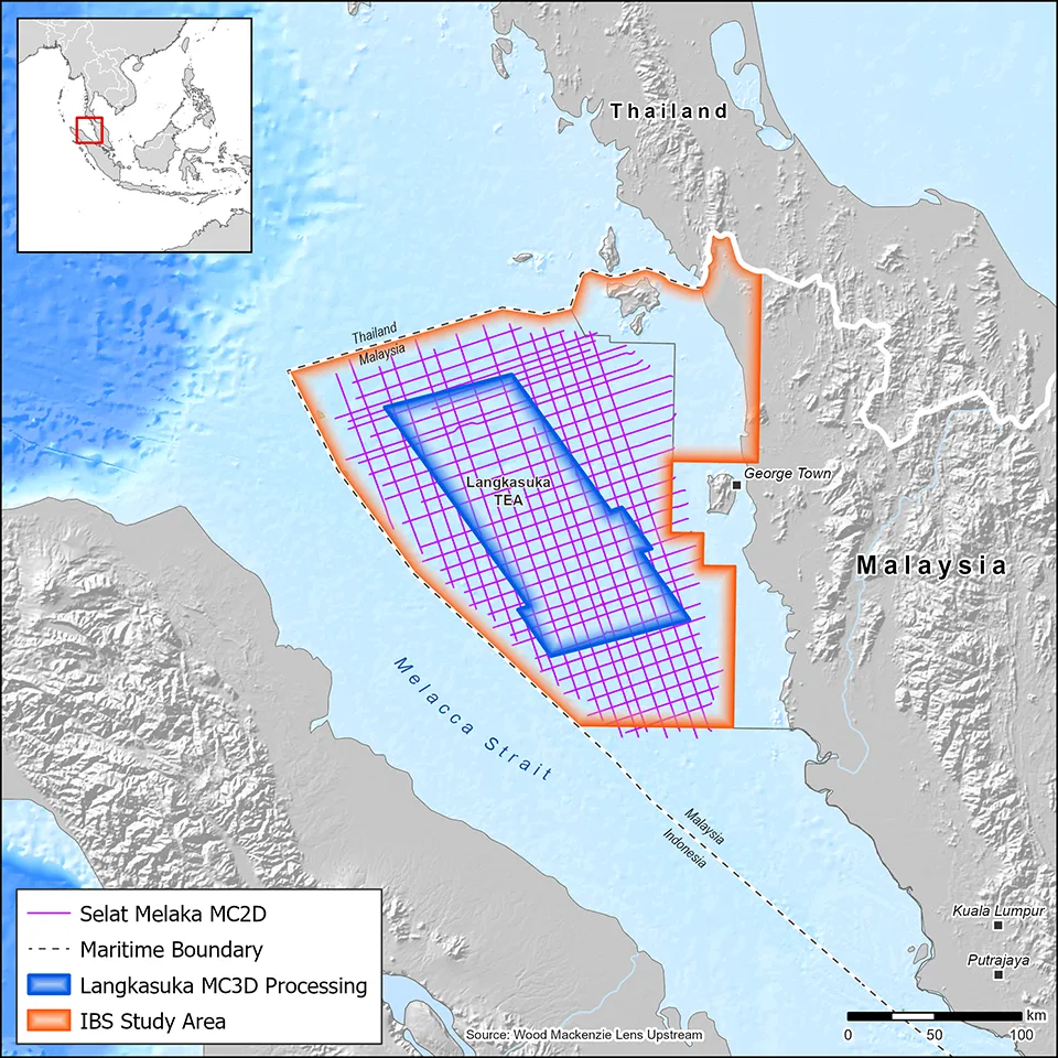
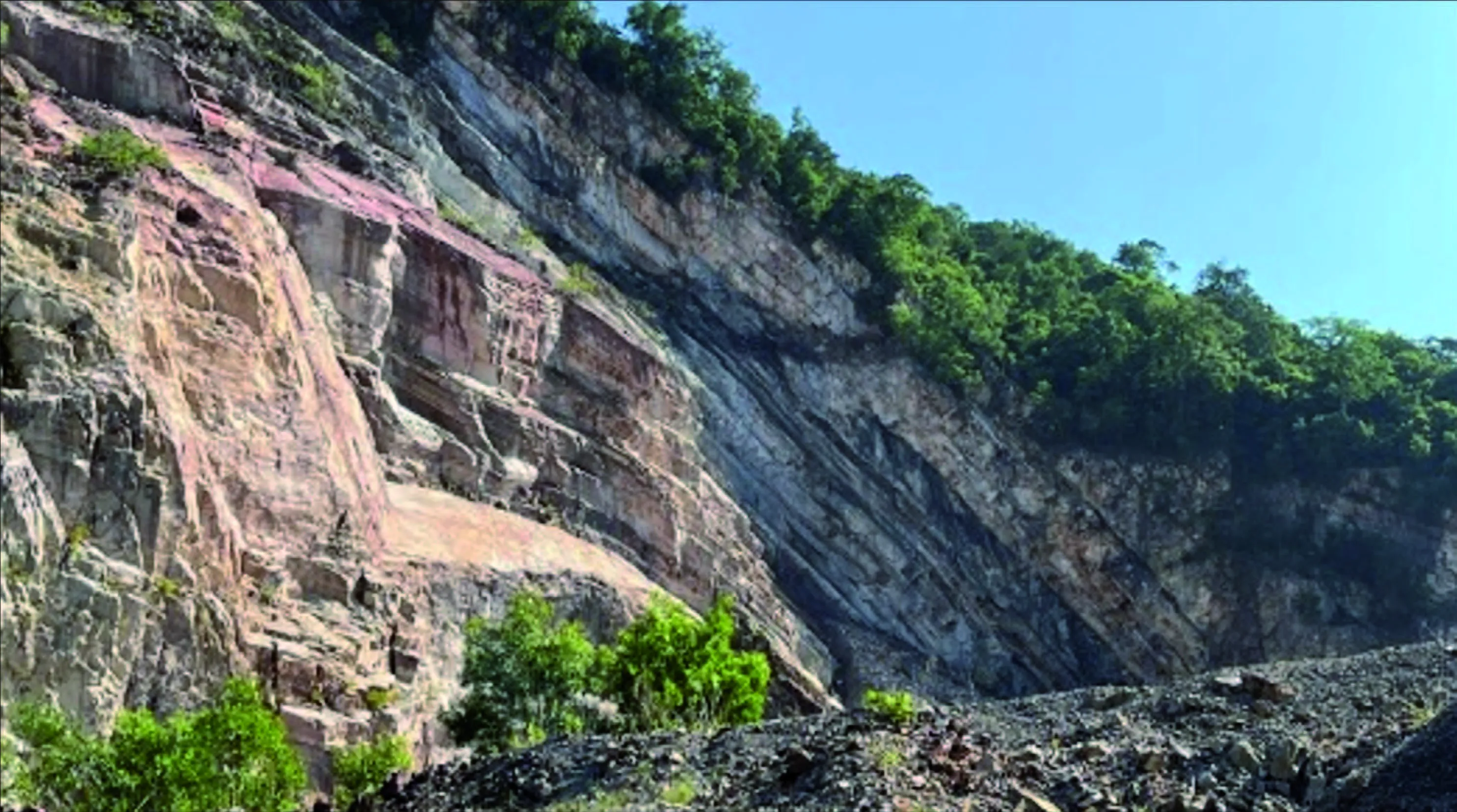
Langkasuka Basin represents one of Malaysia's last true frontier exploration provinces. Located in the northern Strait of Malacca, the basin is characterized by a thick Paleozoic succession deformed into a regionally extensive fold-and-thrust belt, which has remained poorly imaged beneath a strong pre-tertiary unconformity.
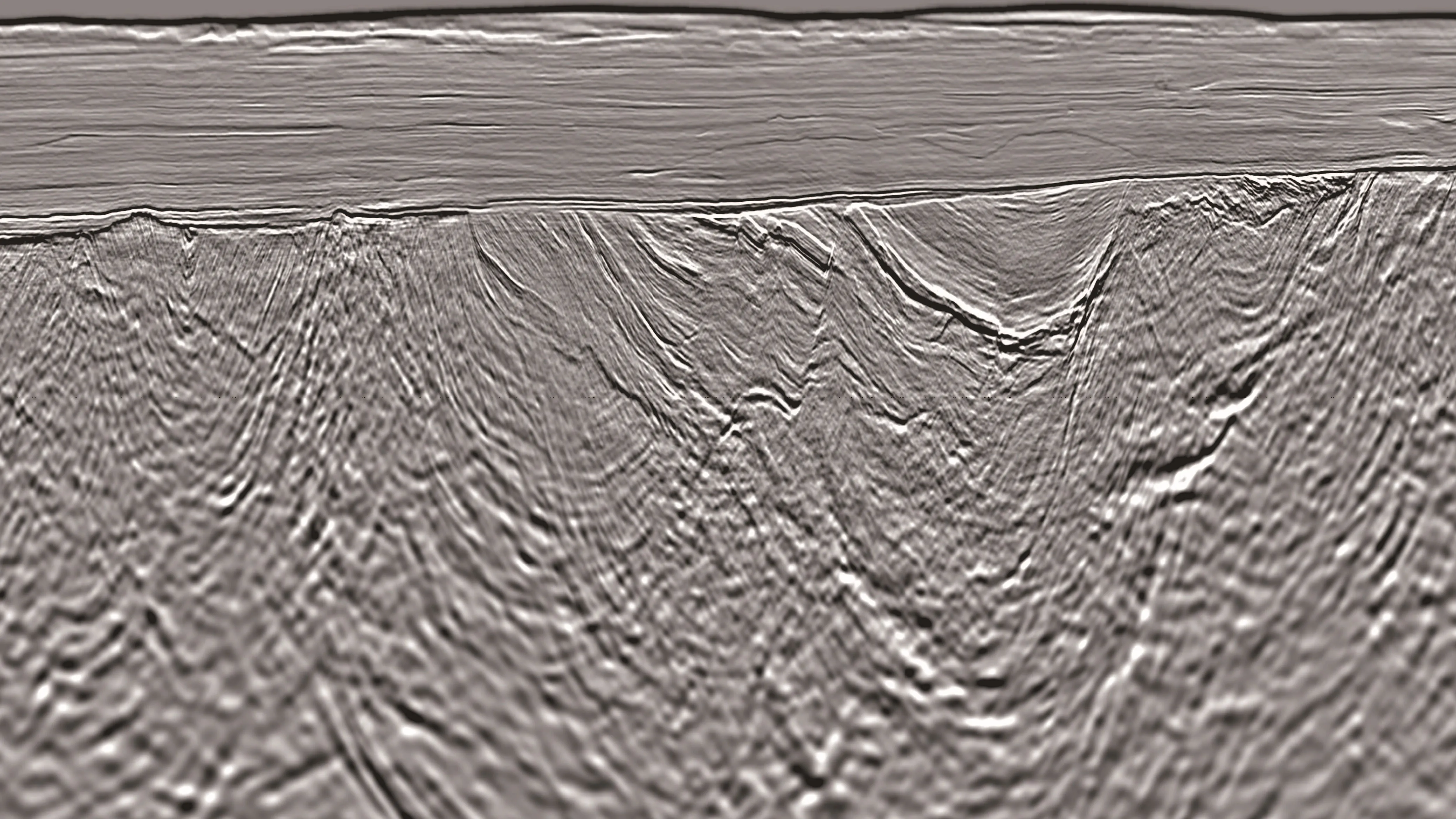
Viridien’s Selat Melaka multi-client 2D survey confirmed the presence of a previously unseen pre-tertiary fold-and-thrust belt extending offshore, with compelling evidence for the presence and extension of petroleum system elements identified onshore in recent studies. The 7,197 km of high-resolution 2D data formed the basis for a new Integrated Basin Study (IBS) for the offshore area, and the new Langkasuka 3D project now takes the next step by delivering full 3D imaging over approximately 12,300 km2 to resolve subsurface structure, reduce velocity uncertainty, and de-risk exploration targets at depth.
The 3D seismic program employs advanced demultiple, deghosting, and designature preprocessing, followed by a multi-pass Q-Full-Waveform Inversion (FWI) velocity model-building workflow. Integration of streamer and sparse OBN data up to 12 Hz will be undertaken to achieve robust low-frequency pre-tertiary velocity recovery, with the integration extended to 24 Hz using streamer reflection data for fine-scale detail. Imaging products include Least-Squares Q-Kirchhoff APSDM, 40 Hz RTM, wave-equation multiple migration, diffraction imaging, and FWI-derived reflectivity, with multiple fast-track deliverables and final data delivery for evaluation.
Highlights
- Approximately 12,300 km2 of state-of-the-art exploration-ready 3D multi-client seismic imaging over the Langkasuka Basin, northern Strait of Malacca, offshore West Peninsular Malaysia.
- Acoustic FWI up to 24 Hz, integrating both streamer and over 3,300 km2 sparse OBN datasets for superior low-frequency velocity model building.
- Least-Squares Q-Kirchhoff APSDM, 40 Hz RTM, diffraction imaging, and wave-equation multiple migration for comprehensive shallow-to-deep target illumination.
- Builds directly on the proven Selat Melaka 2D dataset and Integrated Basin Study - extending frontier exploration from 2D reconnaissance into drill-ready 3D imaging to define prospects, assess volumes, and support drilling decisions.
- Supports PETRONAS Technical Evaluation Agreements (TEA) and future Malaysia Bid Rounds for the Langkasuka Basin.
Related Technology & Surveys
North West Shelf
Explore the NWS with 3D broadband multi-client seismic data and a comprehensive regional geoscience study.
Full-Waveform Inversion
Get highly detailed, data-driven models of subsurface velocity, absorption and reflectivity from full-waveform inversion (FWI).
Explore available multi-client data using our interactive map.
Explore the Geostore