Oil Spill Detection and Monitoring
Mitigate environmental risks with unique offshore insight through Viridien's SeaScope
Pollution incidents associated with offshore oil and gas infrastructure and vessels can have significant and far-reaching environmental, societal and business impacts.
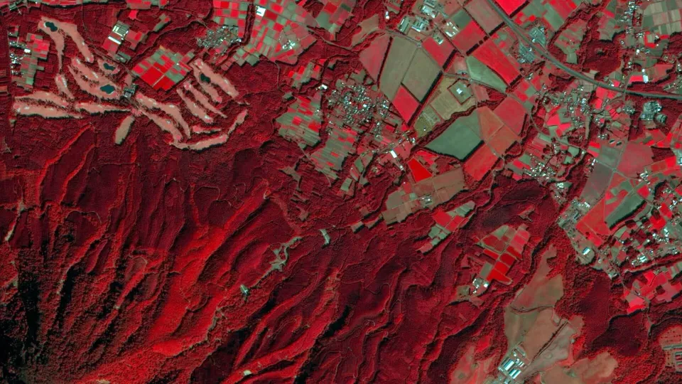
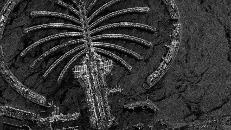
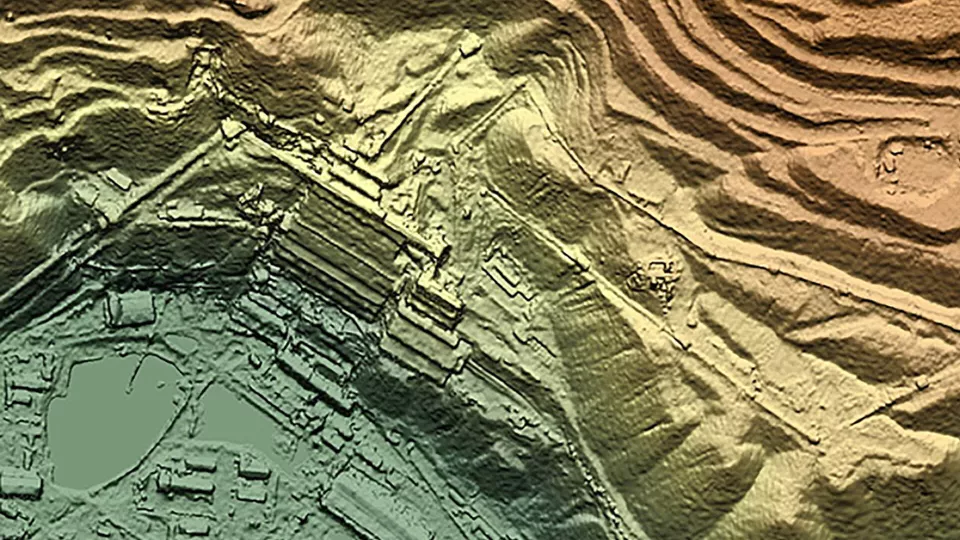
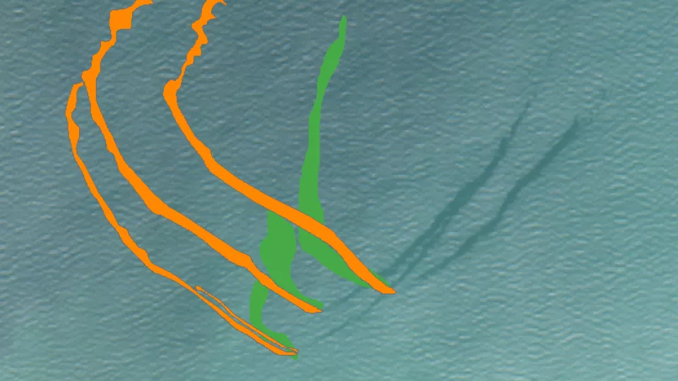
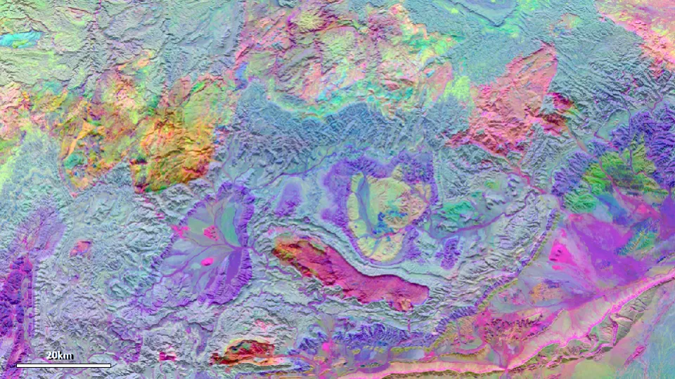
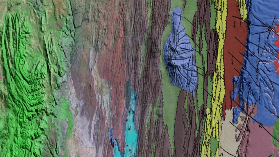
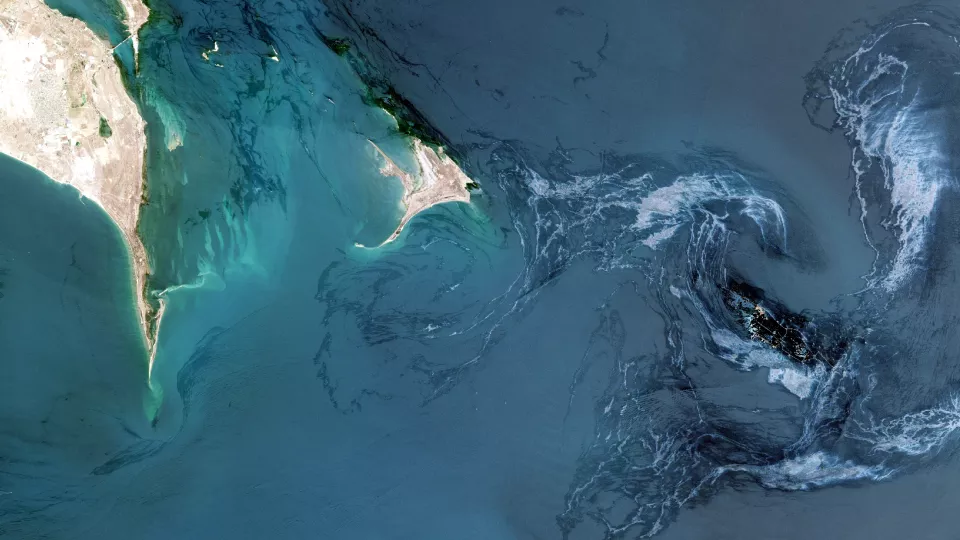
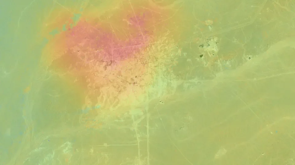
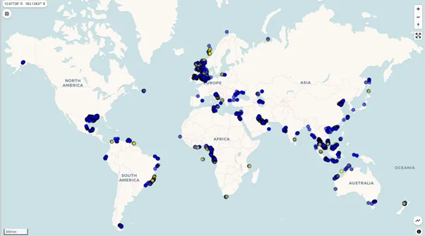
Viridien’s SeaScope increases knowledge on the presence, characteristics and behavior of oil pollution in marine and coastal environments using historical and contemporary satellite imagery. Combining over 30 years' experience in slick detection and interpretation with Viridien's industry-leading ML and HPC capabilities, SeaScope continually processes incoming data and rapidly identifies and classifies oil slicks on a global scale.
Developed in collaboration with ESA and supporting charities such as Major Projects Foundation and Project Tangora, SeaScope is your trusted solution for oil spill detection and monitoring.
Designed with you, for you
Designed to work quietly in the background, SeaScope alerts you only when you need it, whilst maintaining a full back-catalogue of data and interpretative information. This behind-the-scenes stack of data can help define baselines, document third party incidents and form an evidence bank of responsible operations.
The SeaScope service is fully customizable and can monitor sites ranging in complexity from individual assets to entire global portfolios. Hosted on Viridien’s secure cloud and accessed via our custom portal, the data can be accessed anywhere at any time and can be adapted to fit with existing company platforms.
Advanced Oil Spill Detection & Monitoring
Gain critical offshore insight to mitigate environmental risks. SeaScope combines expert interpretation with high-resolution satellite imagery to detect and monitor oil pollution in marine and coastal environments.
Get in touch to start your trial today and see how SeaScope can help you protect the environment and ensure responsible operations.
Monitoring in the background, designed to alert you when needed
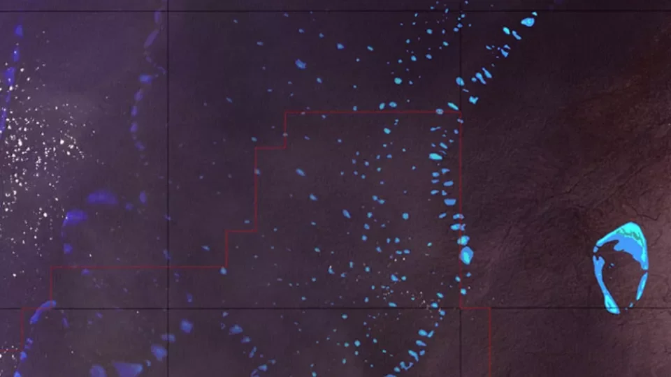
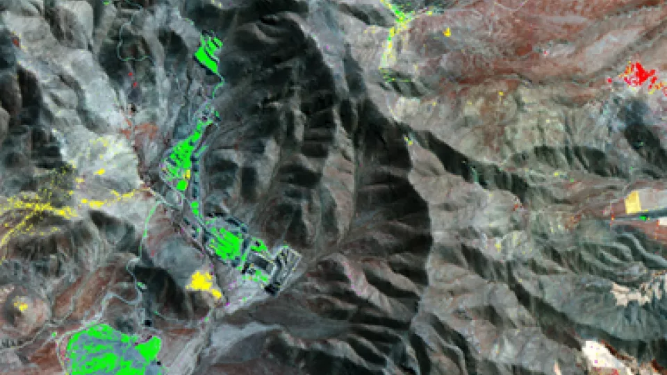
SeaScope is designed to support a number of complex maritime operations on a proactive basis, including oil field monitoring, decommissioning assets, port logistics and potentially polluting wrecks, ensuring you’re only contacted once your unique Intervention Level Threshold (ILT) is reached.
But we can also help if things go wrong. Our retrospective pollution incident studies and critically prioritized monitoring programs provide unique and independent insight into offshore oil spills as an emergency response, or for incident forensics, for example.

Advances in Oil Pollution Monitoring: The Development and Application of the SeaScope Solution
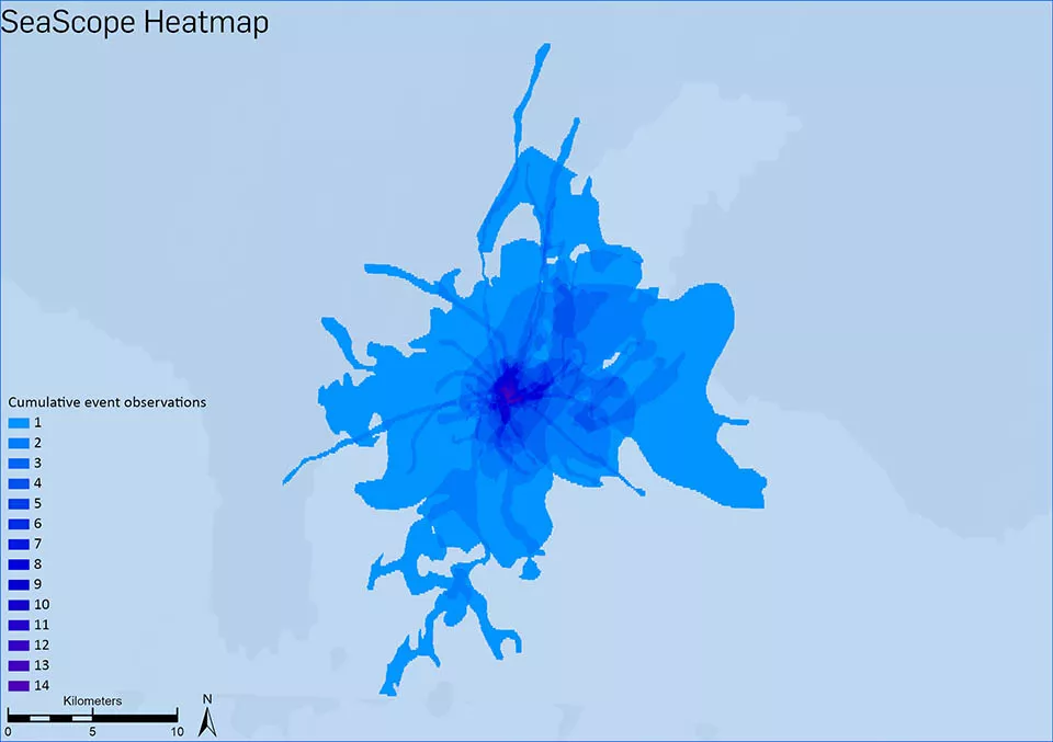
On World Ocean Day, as we celebrate the importance of our oceans, it’s crucial to spotlight the persistent threat of oil pollution and the urgent need to monitor its sources to protect marine ecosystems. Earth observation satellites provide a powerful tool for detecting pollution-related oil slicks with Viridien’s SeaScope at the forefront of monitoring pollution risks in near-real time.
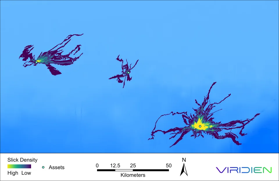
Oil spill monitoring across offshore energy assets
With advanced processing and analysis of satellite data backed by over 25 years’ experience, SeaScope gives energy companies critical environmental awareness.
- Insight from a credible, unbiased source: Proprietary processing, analysis and unique taxonomy built on globally trusted remote sensing expertise
- Wide-area monitoring on a global scale: High-frequency satellite data translated into an actionable stream of intelligence
- Transparent record of responsible activity: Evidence base of responsible operations to support environmental and operational transparency measures and related ESG commitments
- Baselining for offshore operations: Reliable production water benchmarks associated with routine operations; compare assets across a global portfolio through systematic auditing
- Faster response through early detection: Quicker qualification and subsequent incident response through early alerts when spills do occur
- Seamless data integration and visualization: Software-agnostic geospatial deliverables for in-house systems or available via an intuitive online portal