About Viridien Satellite Mapping
Europe’s longest-established Earth Observation specialist, formerly CGG and NPA Satellite Mapping.
Central to our ethos is customer focus—delivering world-leading satellite-derived products and services tailored to each client’s needs, transforming vast libraries of data into actionable insights through expert teams, cutting-edge techniques, and high-performance computing.
Viridien is one of many names our growing team has been known by since we first formed over 50 years ago. In 2024, CGG rebranded to Viridien to reflect the company’s incredible evolution over the past 90 years. While our name has changed, our dedication remains the same as we continue our pioneering work in satellite remote sensing.
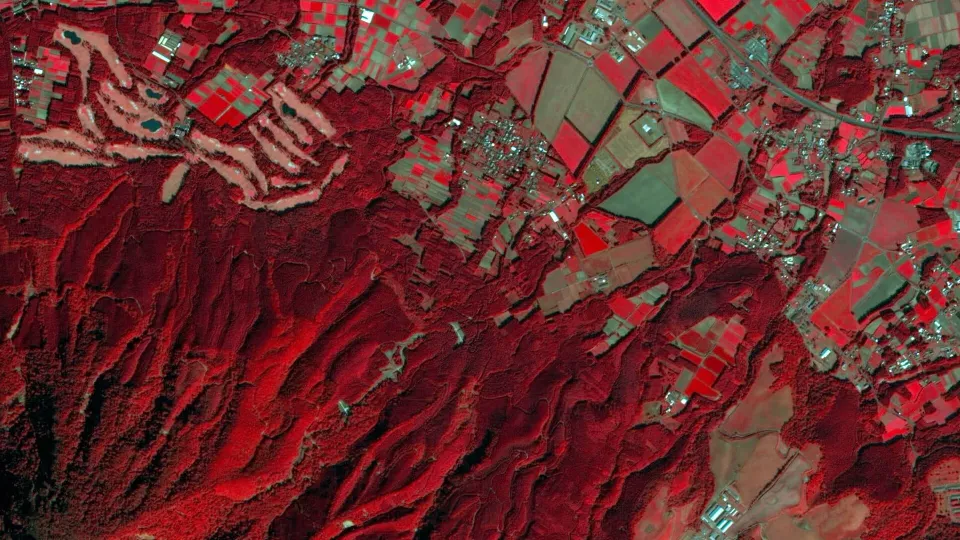
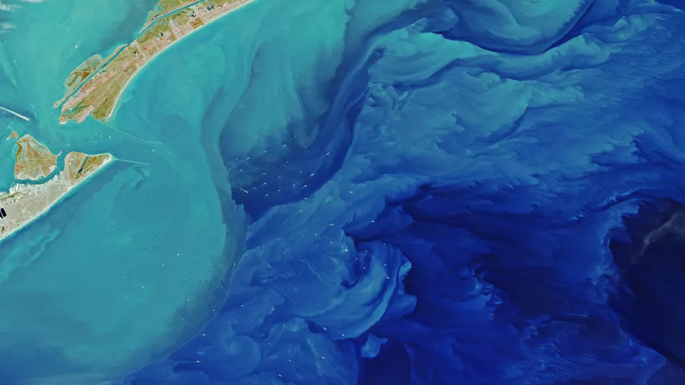
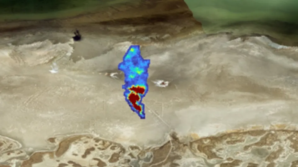
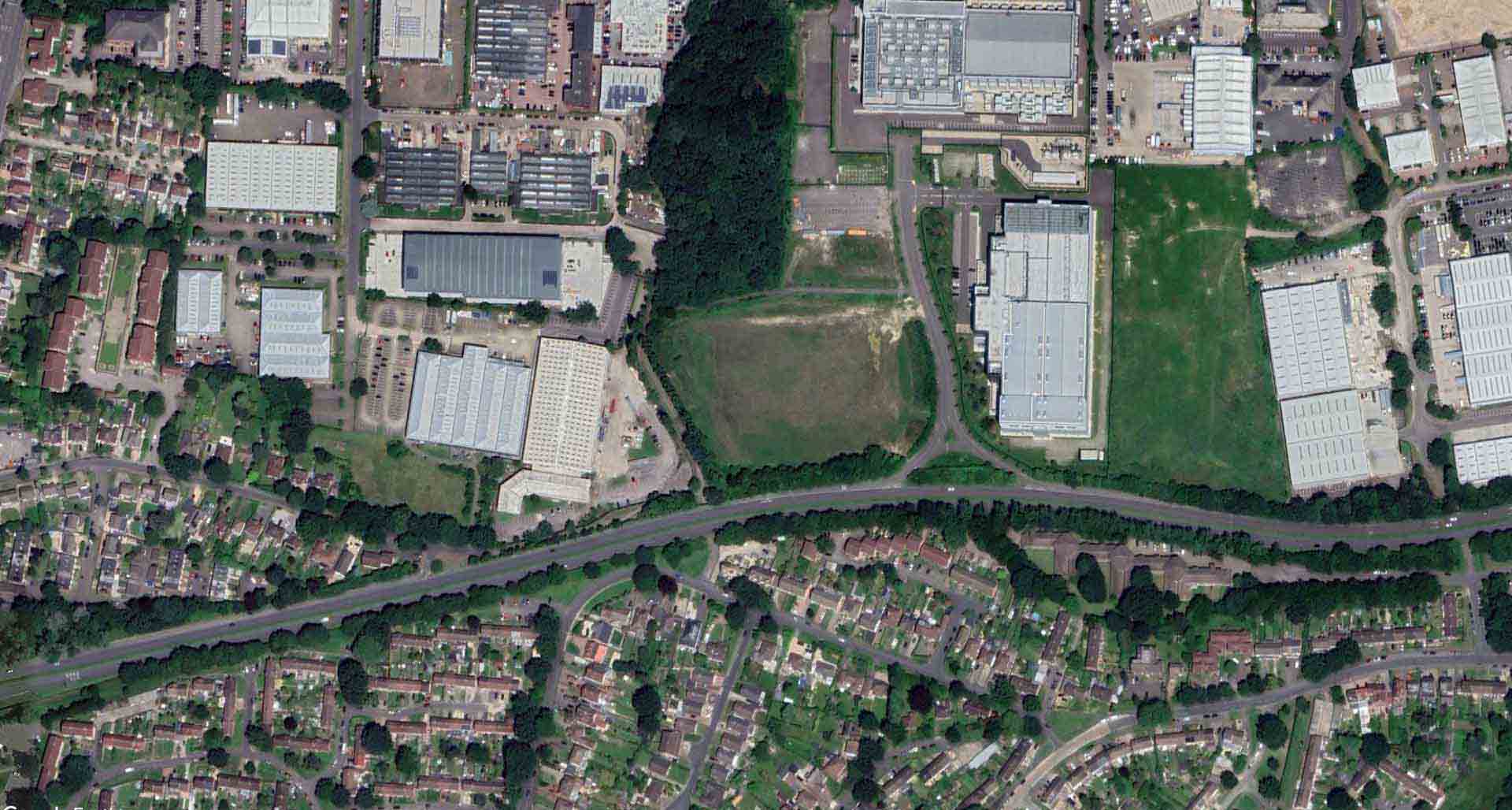
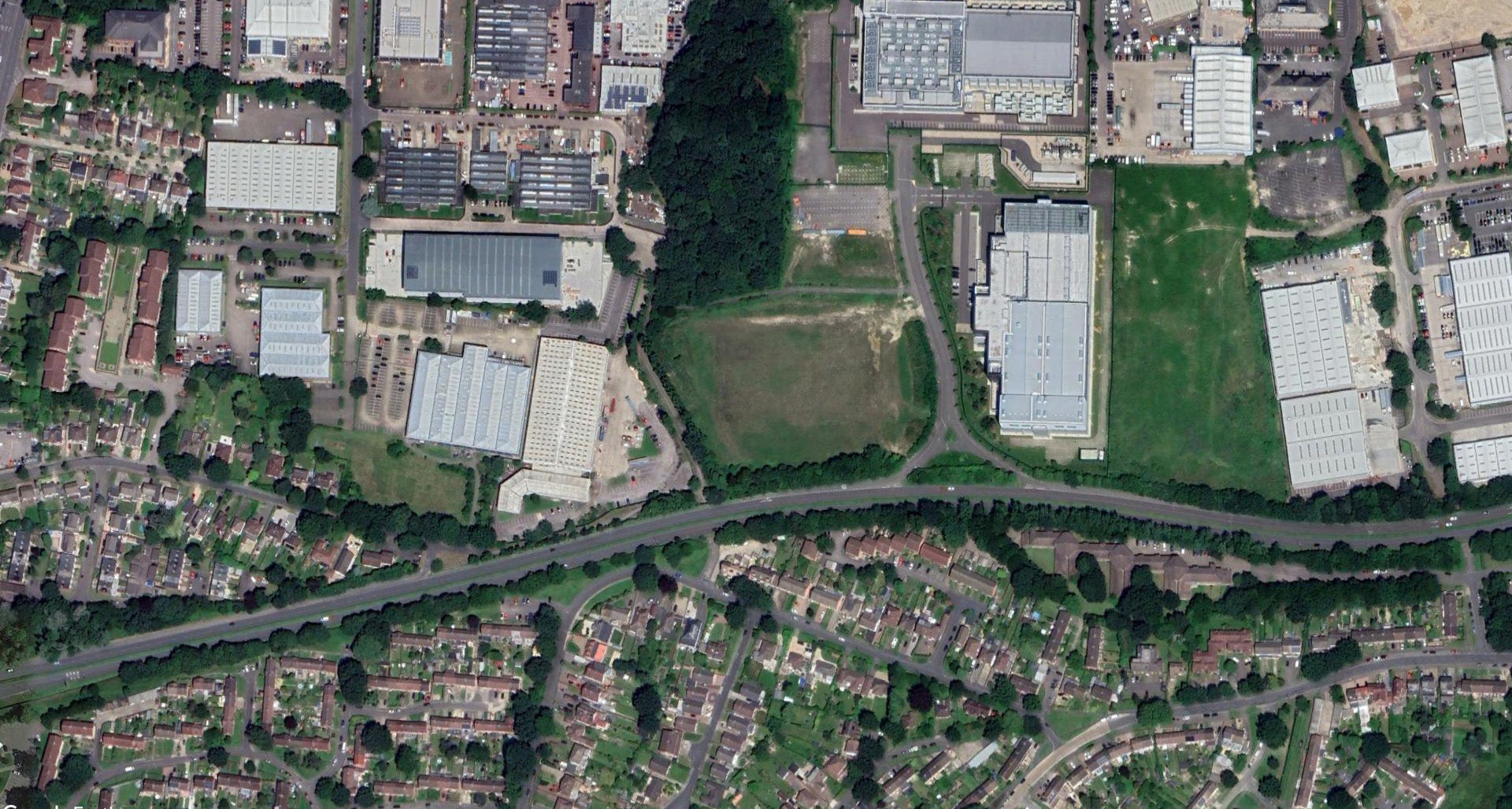
Get a satellite-view of our UK office up close!
Our team, based in Crawley, UK, proudly delivers geoscience applications of Earth Observation and remote sensing to clients worldwide.

Our Team of Earth Observation Specialists
For over 50 years, our dedicated team has been at the forefront of satellite mapping technology providing Earth Observation expertise to bridge the gap between satellite operators and businesses.
Our team comprises highly qualified and experienced remote sensing scientists, mathematicians, data scientists, developers, geologists, geophysicists, astrophysicists, engineers, and more, who are driven by a pursuit of innovation and excellence, empowering industries and organizations to make informed decisions about our planet.
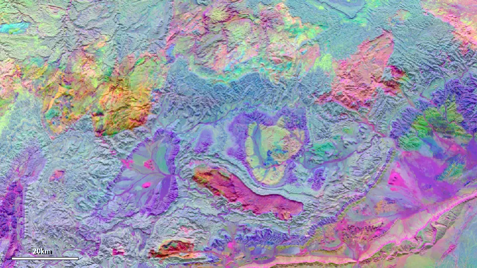
Our Journey in Satellite Mapping
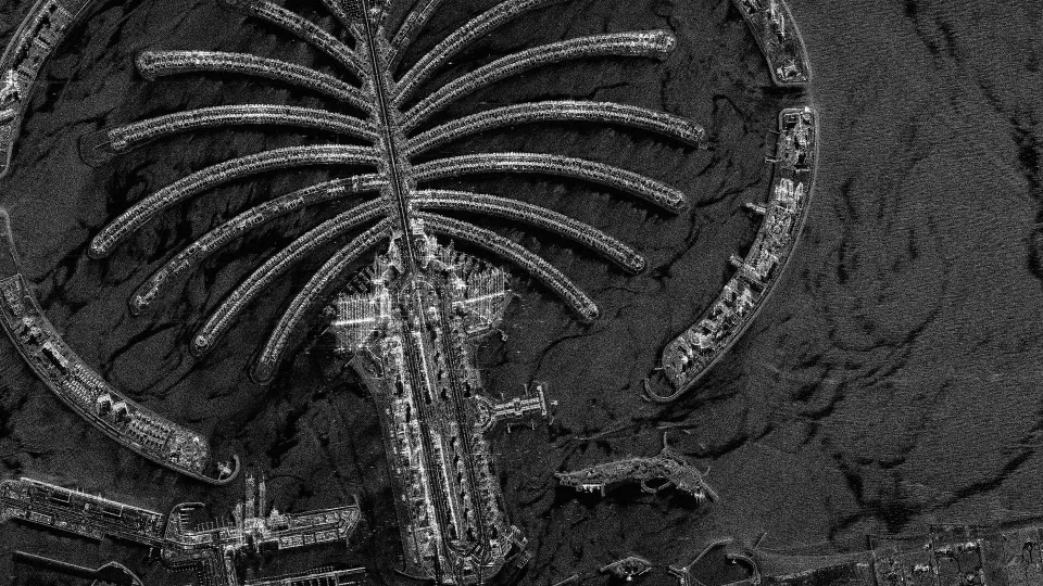
Founded in 1972 by Nigel Press as Nigel Press Associates (NPA), we pioneered modern satellite mapping with the launch of the first Landsat satellite. In 1991, we established an offshore analysis team, leveraging SAR technology to detect oil slicks and natural seeps. By 1995, we created the InSAR analysis team, becoming the longest-running commercial provider.
In 2008, we were acquired by Fugro and five years later we became CGG Satellite Mapping, focusing on innovation and digital frameworks to enhance our offerings. Our journey continued in 2024 when we rebranded to Viridien, marking a new era with the launch of advanced products like SeaScope and BareEarth Plus.

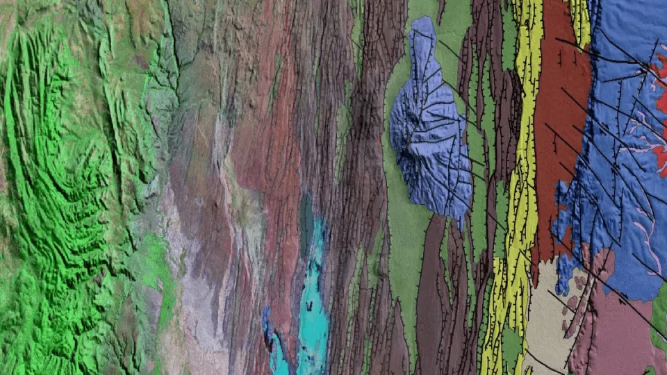
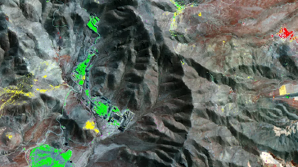
Advanced Satellite Mapping Services and Collaborations
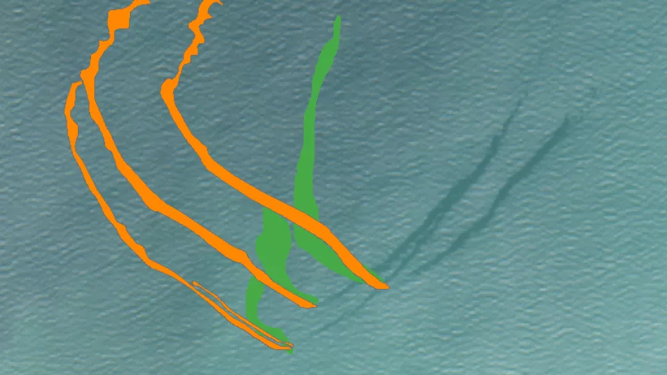
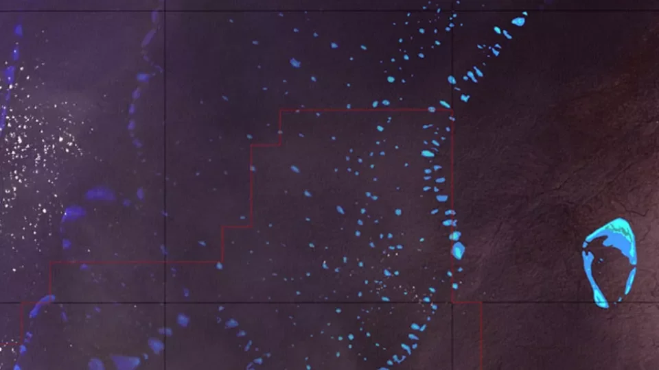
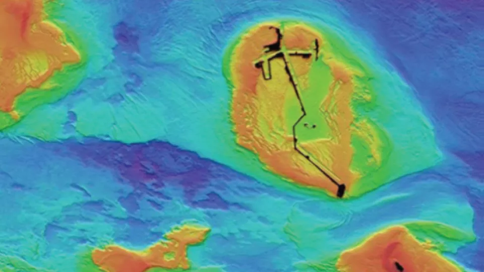
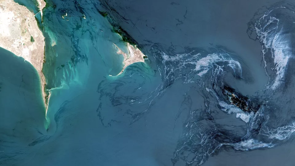
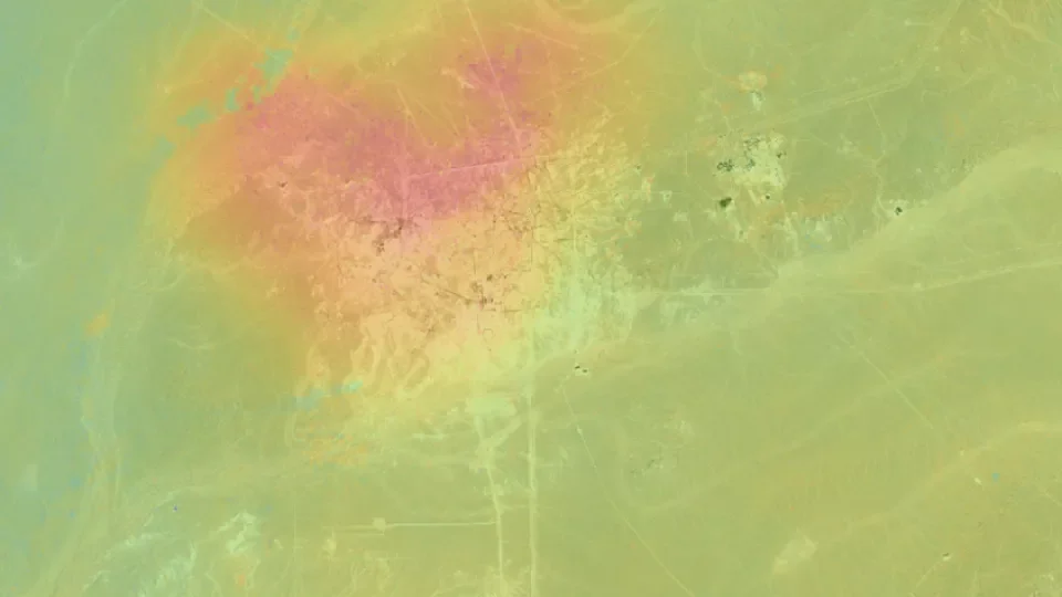
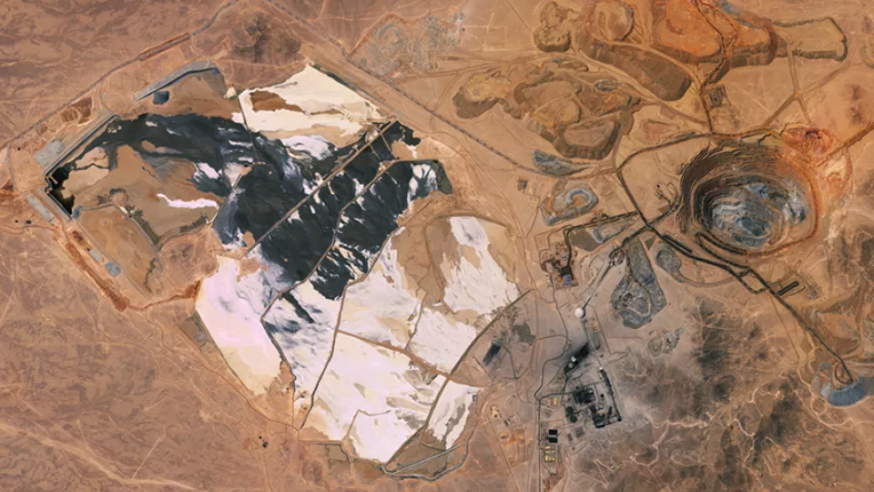
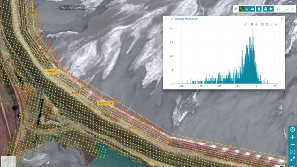
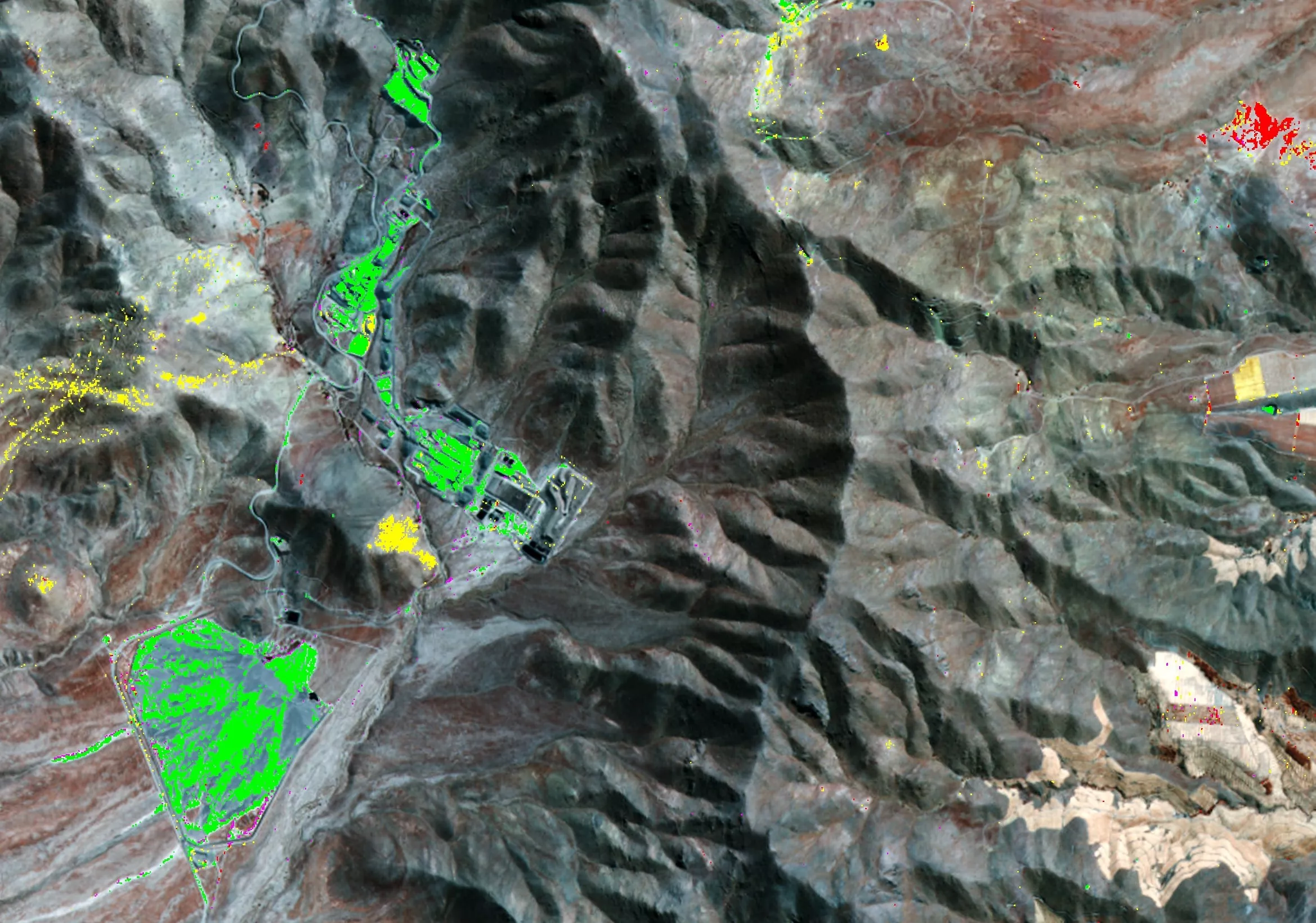
Viridien Satellite Mapping has played a crucial role across various markets, including energy, mining, engineering, environment, and defense. We provide satellite-derived solutions to address industry challenges, such as surface deformation intelligence for mining, oil seepage detection for offshore exploration, and environmental monitoring for infrastructure projects. Our collaborations include national and European initiatives with the British National Space Centre, British Geological Survey, and the European Space Agency. Notable projects include Terrafirma and Pipemon, and our study on Persistent Scatter Interferometry in London.
GET IN TOUCH
Our knowledge and experience provide an easy means of navigating the increasingly complex world of satellite imagery and elevation data. Our status as an independent supplier for satellite operators around the globe guarantees comprehensive and impartial advice, every time.
Stay connected with us on LinkedIn for real-time updates on our innovative satellite mapping projects and latest activities.