
Onshore Imaging
Enhancing operational performance onshore with advanced imaging and geoscience insights
The scale and intensity of land, transition zone and shallow water seismic surveys have rapidly increased to support better field development decisions and to drive drilling performance. These immense datasets are challenging to process in terms of raw volume and geological complexity, especially in the Middle East.
Viridien pioneers seismic processing technology and bespoke HPC resources, working closely with operators and national oil companies to deliver timely results that drive business decisions. With over 60 years of experience in the Middle East and North Africa and 50 years in the US, Canada and Latin America, our local teams understand how to apply the latest imaging and AI technologies to address key regional challenges and extract the most value from seismic data.
If you are looking for a long-term competitive advantage and partnership, our dedicated subsurface imaging centers demonstrate our ability to reliably scale with our client's operational requirements and to consistently deliver unique value.
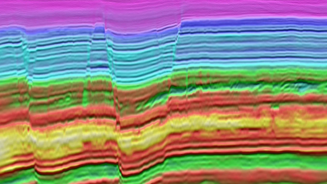
Innovative workflows blending the latest onshore imaging technology with our deep local expertise
From near-surface characterization to multiple attenuation, multi-component processing and reservoir imaging, we excel at combining technology and expertise to create innovative data-driven workflows which extract more value from your data for a better understanding of the subsurface.
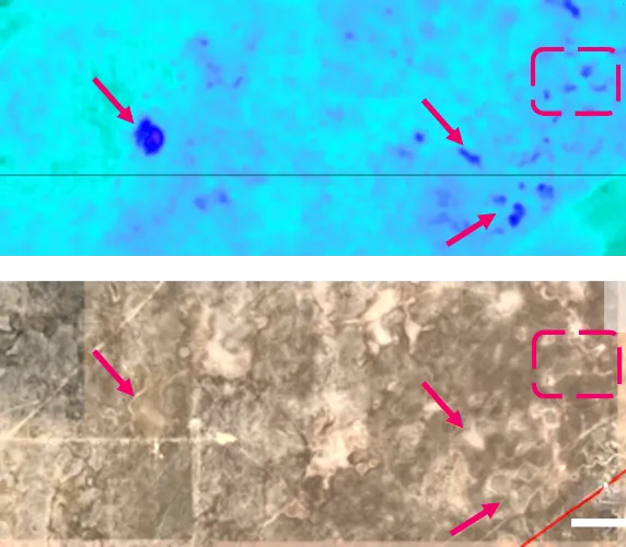
When you need deeper insight to support operations, our data science and geoscience services include legacy data transformation and enrichment, multi-disciplinary geoscience insight for optimal well planning and AI-accelerated interpretation for large seismic volumes.
FEATURED ARTICLES
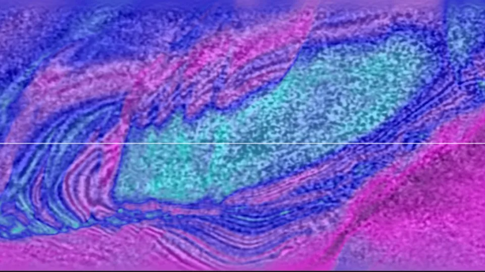
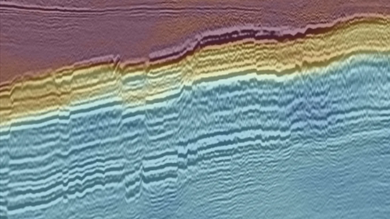
Unlocking onshore imaging challenges in Oman with FWI
The Middle East contains some of the most difficult conditions for onshore seismic imaging, with complex near-surface geology and varied surface conditions. This The Leading Edge article illustrates how TLFWI and FWI Imaging have been successfully applied to provide a step-change in subsurface understanding in complex settings in the Sultanate of Oman.
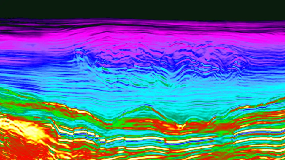
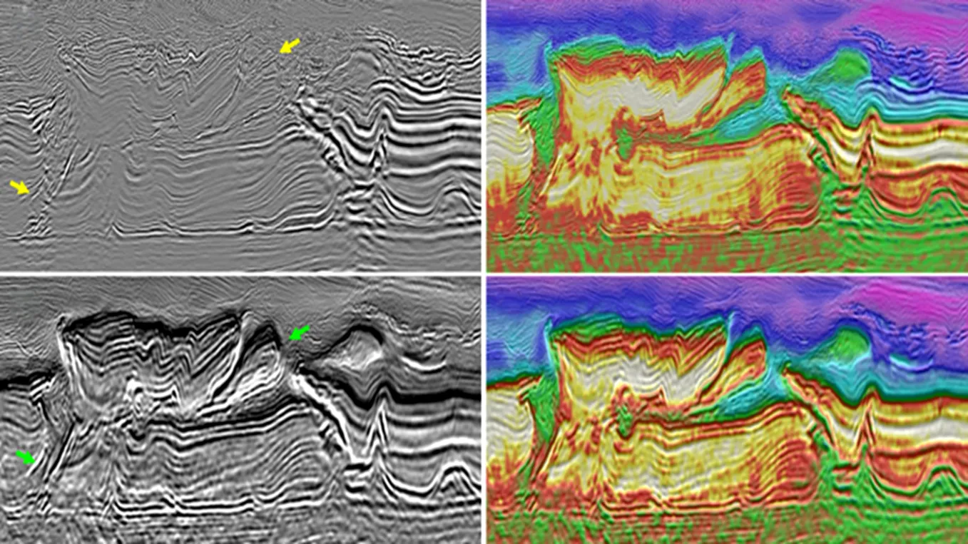
Delineating prospects in the Carpathian thrust belt
Foothills thrust belts can contain prospective plays, but they come with associated imaging challenges such as large variations in topography, significant weathering zones and complex folded structures with strong velocity variations. This case study showcases how accurate near-surface characterization and high-frequency FWI can result in more reliable reservoir imaging to de-risk production of a prospect below an overthrust.