Geotools
Professional electromagnetics and potential fields interpretation software
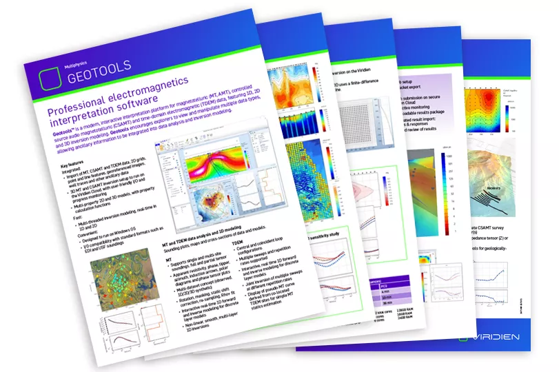
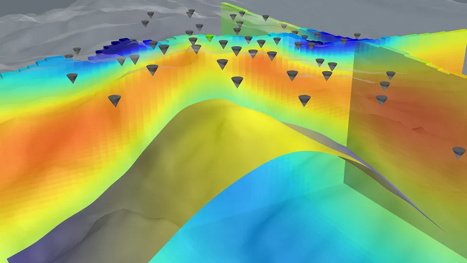
Geotools™ is a modern, interactive interpretation platform for ground, airborne and marine electromagnetic, gravity and magnetic data (MT, AFMAG, CSAMT-CSEM, FEM, TEM, AGG, FTG, etc.). Featuring modeling tools thru 3D, Geotools’ multi scene user interface encourages explorers to efficiently view, interrogate and invert multiple data types, allowing ancillary geoscience intel to be integrated into the data analysis and inversion modeling.
Get full control, from QC to 3D inversion
Find out how Geotools encourages explorers to view and manipulate multiple data types, allowing ancillary information to be integrated into data analysis .
New Geotools features
The latest release of Geotools includes CSAMT data analysis and 3D inversion modeling.
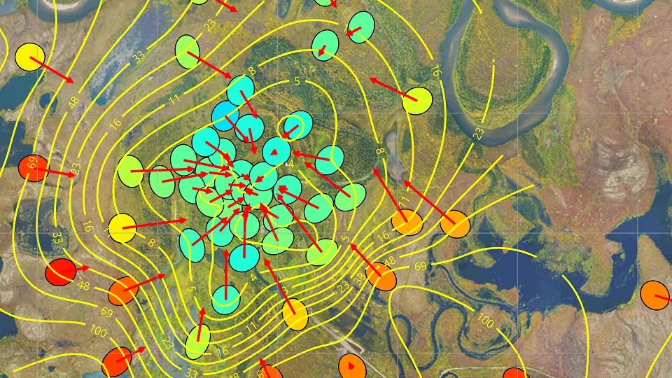
CSAMT data modeling includes the full receivers/transmitter layout configuration, honoring the active source nature of this data type.
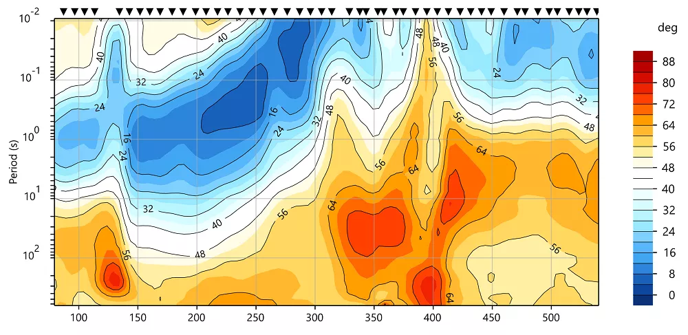
Multi-transmitter layouts are supported. Data analysis and QC can be performed sounding by sounding and via data grids extracted in maps and pseudo-sections.
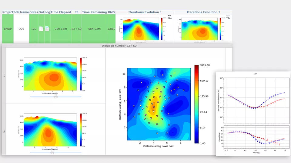
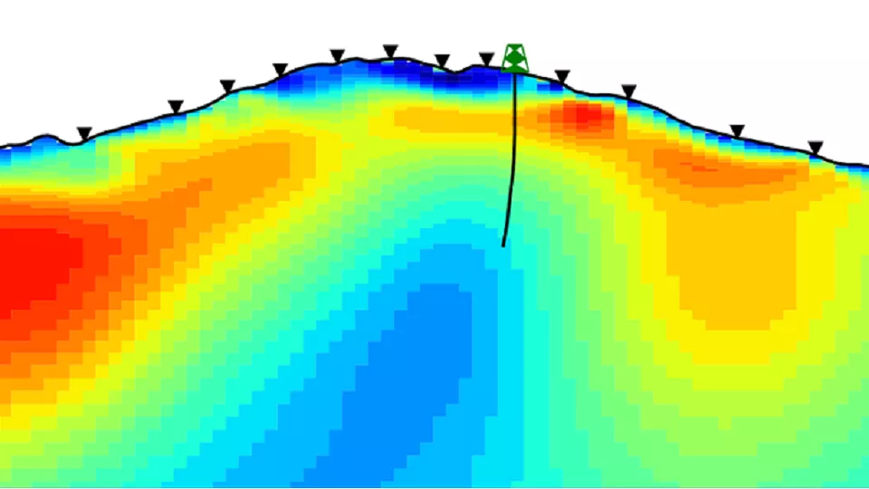
The full 3D modeling workflow includes all the steps from 3D model mesh building, including the transmitter(s) to job submit to the Viridien Cloud and inversion results review in Geotools.