
Viridien commences Walker Ridge Reimaging Extension in US Gulf
Paris, France | Aug 27, 2026
Viridien has recently launched its Walker Ridge Reimaging Extension in the US Gulf. With the support of industry partners, the initiative expands on the success of its original Walker Ridge Reimaging program. Fast-track results for this new project are already available.
The 4,406 km2 extension covers 189 new OCS blocks in the highly prospective Walker Ridge area, in addition to 46.5 blocks overlapping the original Walker Ridge Reimaging program over a 1,085 km2 area. The total program coverage of 5,491 km2 over 235.5 blocks will deliver a premium exploration dataset across a large acreage position with significant infrastructure-led exploration (ILX) potential.
Viridien is applying its seismic imaging expertise and advanced Time-Lag Full Waveform Inversion (TLFWI) technology to enhance subsurface understanding and provide greater geological insight into this complex deepwater environment. The project will deliver a higher-quality data set over the extension area, seamlessly merged with the original Walker Ridge Reimaging volume, with final results expected to be available in early 2027.
Dechun Lin, Head of Earth Data, Viridien, said: "The Walker Ridge Reimaging Extension program builds directly on the proven success of our earlier Walker Ridge multi-client survey which generated strong commercial interest. By applying our latest Time-Lag FWI technology, we are giving clients a powerful exploration tool across a large, highly prospective area with strong ILX potential.”
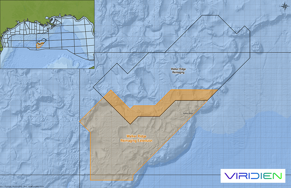
Map showing location of the Walker Ridge Reimaging Extension program (map courtesy of Viridien Earth Data).
About Viridien
Viridien (www.viridiengroup.com) is an advanced technology, digital and Earth data company that pushes the boundaries of science for a more prosperous and sustainable future. With our ingenuity, drive and deep curiosity we discover new insights, innovations, and solutions that efficiently and responsibly resolve complex natural resource, digital, energy transition and infrastructure challenges. Viridien employs around 3,200 people worldwide and is listed as VIRI on the Euronext Paris SA (ISIN: FR001400PVN6).