Viridien wins contract to supply 30,000 Sercel WiNG land nodes to DMT
News Topics
Publish Location
Paris, France
Tags
Body
Viridien announced today that its Sensing & Monitoring business line, marketed under the Sercel brand, has sold and delivered a total of 30,000 Sercel WiN
Publish Date
Image Caption
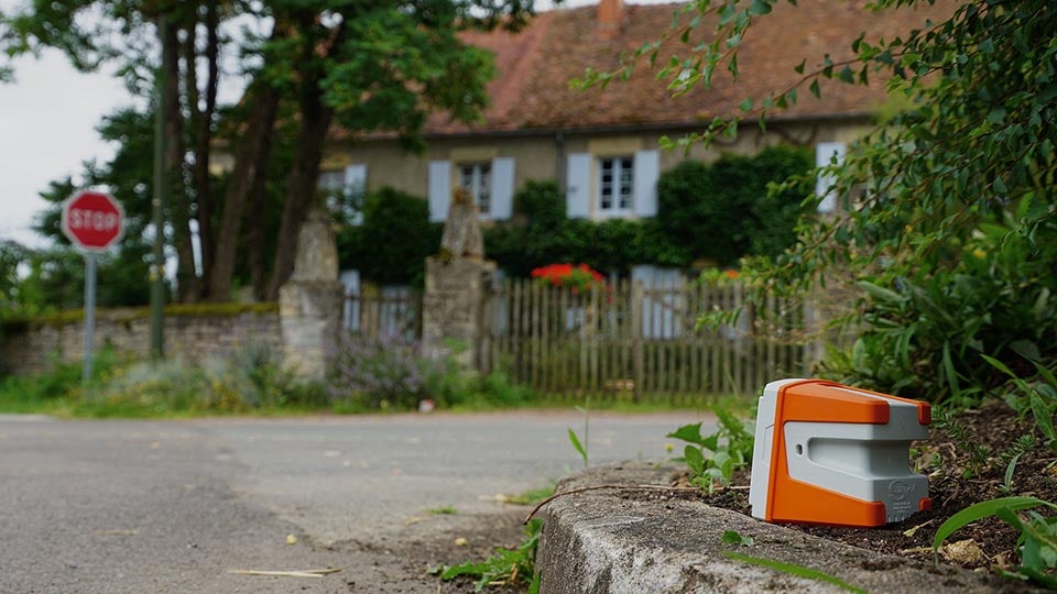
Featuring the ultra-sensitive broadband digital MEMS QuietSeis® sensor, the Sercel WiNG node delivers optimal data quality for outstanding subsurface imaging (image courtesy of Sercel).
Image
Layout Canvas
About Viridien
Viridien (www.viridiengroup.com) is an advanced technology, digital and Earth data company that pushes the boundaries of science for a more prosperous and sustainable future. With our ingenuity, drive and deep curiosity we discover new insights, innovations, and solutions that efficiently and responsibly resolve complex natural resource, digital, energy transition and infrastructure challenges. Viridien employs around 3,500 people worldwide and is listed as VIRI on the Euronext Paris SA (ISIN: FR001400PVN6).