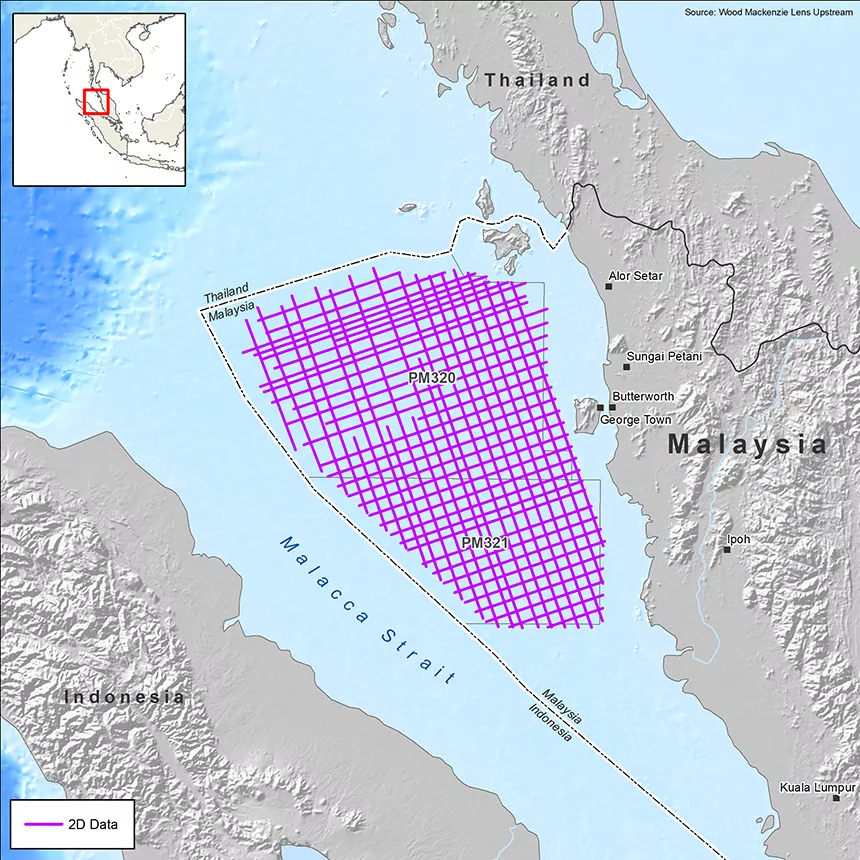
Selat Melaka, Malaysia
Shedding light on the untapped potential of Langkasuka Basin with new high-quality data
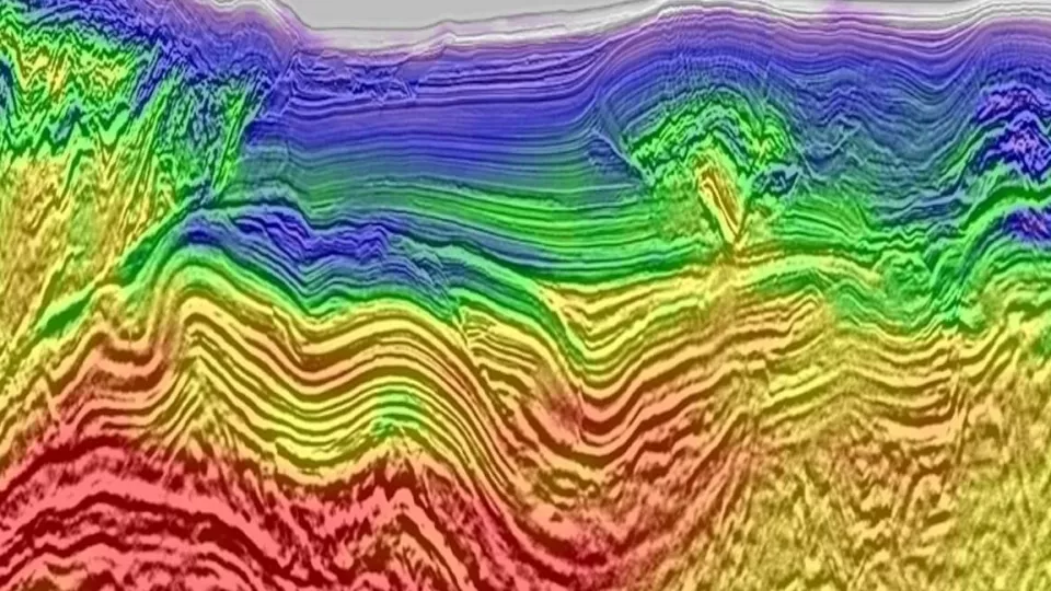
The Selat Melaka 2D survey located in the Langkasuka Basin of Peninsula Malaysia provides the industry with 7,197 km of high-resolution seismic data in a frontier area that previously lacked data coverage. The new data utilises advanced long-offset seismic acquisition and Viridien’s unique cutting-edge processing technologies, including high-frequency visco-acoustic FWI for joint Vp and Q inversion and Q-PSDM. The program will enable a more comprehensive assessment of the prospectivity of this promising basin.
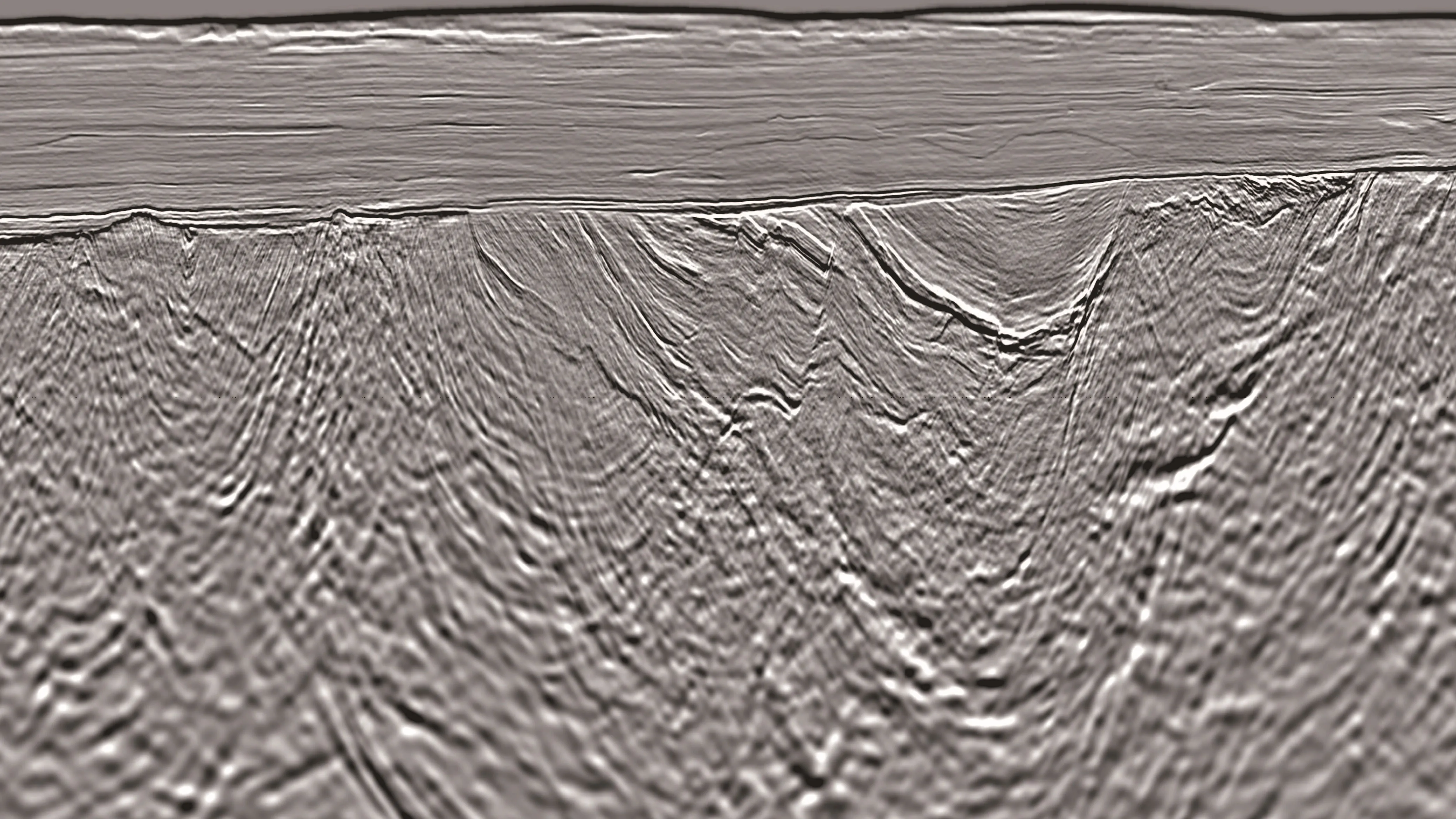
The final 2D seismic products are available now, with results confirming the presence of a previously unseen Paleozoic fold and thrust belt, and compelling evidence for the presence of petroleum system elements, derived from onshore studies.
The seismic program is supported by an Integrated Basin Study (IBS), completed in January 2026, which provides enhanced basin understanding, sharpens geological evaluation, and highlights new insights into the potential of the frontier Langkasuka Basin.
Highlights
- 7,197 km of high-quality, high-resolution 2D multi-client seismic data featuring low-frequency source and long offsets (8 km streamer).
- High-end imaging sequences that feature the latest demultiple technology, including using Inverse Scattering Series (ISS) interbed demultiple
- Cutting-edge imaging techniques, such as high-frequency Visco-Acoustic FWI for joint Vp and Q inversion and Q-tomography, to provide significant imaging uplift from shallow to pre-tertiary deeper targets.
- Integrated Basin Study (IBS) completed and available now.
Related Technology & Surveys
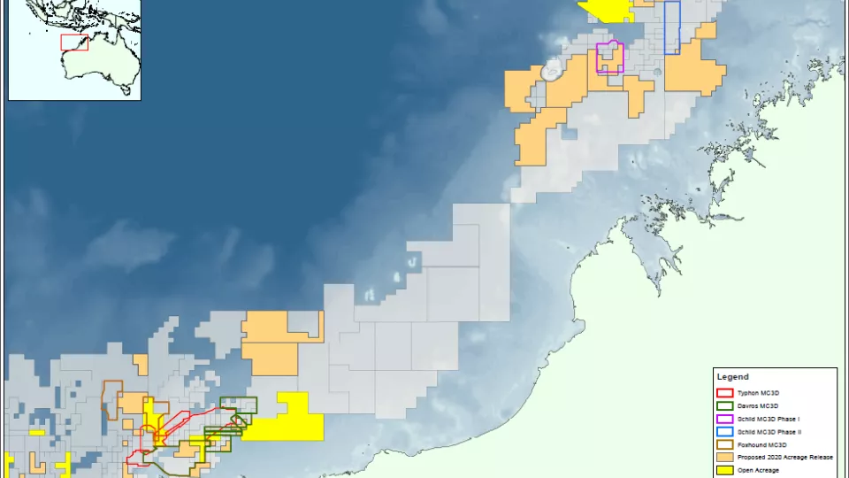
Gippsland
3D reprocessing and acquisition in Australia’s Gippsland Basin offers the highest-resolution 3D seismic data available in this extremely prospective area.
North West Shelf
Explore the NWS with 3D broadband multi-client seismic data and a comprehensive regional geoscience study.
Full-Waveform Inversion
Get highly detailed, data-driven models of subsurface velocity, absorption and reflectivity from full-waveform inversion (FWI).
Explore available multi-client data using our interactive map.
Explore the Geostore