Full-Waveform Inversion
Unlock better decisions, faster, with FWI for high-fidelity velocity models and imaging
Viridien’s unique Full-Waveform Inversion (FWI) technology leadership and the deep expertise of our global Subsurface Imaging teams maximizes the value of your subsurface data, enabling you to access new business opportunities and derisk your operations.
As pioneers in this space, our researchers and geophysicists work with you to create state-of-the-art workflows optimized for your data and objectives.
Whether your project is marine towed streamer, land, OBN, DAS or 4D, our robust and versatile FWI technologies deliver high-fidelity models and unmatched images of the subsurface, giving you a competitive advantage at every stage of the asset lifecycle.

Advanced FWI methodologies for a range of challenges
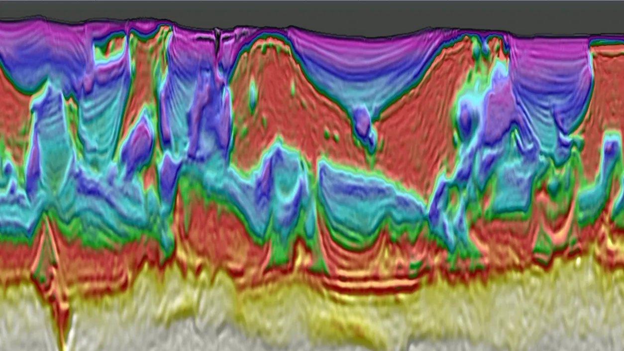
Discover FWI techniques developed to address a host of diverse challenges and resolve complex subsurface geology, allowing you to extract more value from your seismic data with highly-accurate subsurface models and images.
Our best-in-class FWI technology has been adapted by our experts to work with any acquisition geometry, creating workflows that overcome poor signal-to-noise, model elastic effects and leverage a wide range of arrivals including P- and S-waves. This gives you more, and better, information to create new opportunities for frontier & infrastructure-led exploration, and enable more efficient and accurate field development and reservoir monitoring.
FEATURED ARTICLES
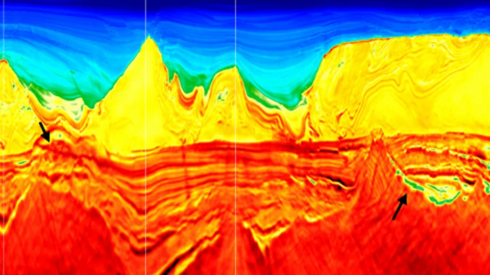
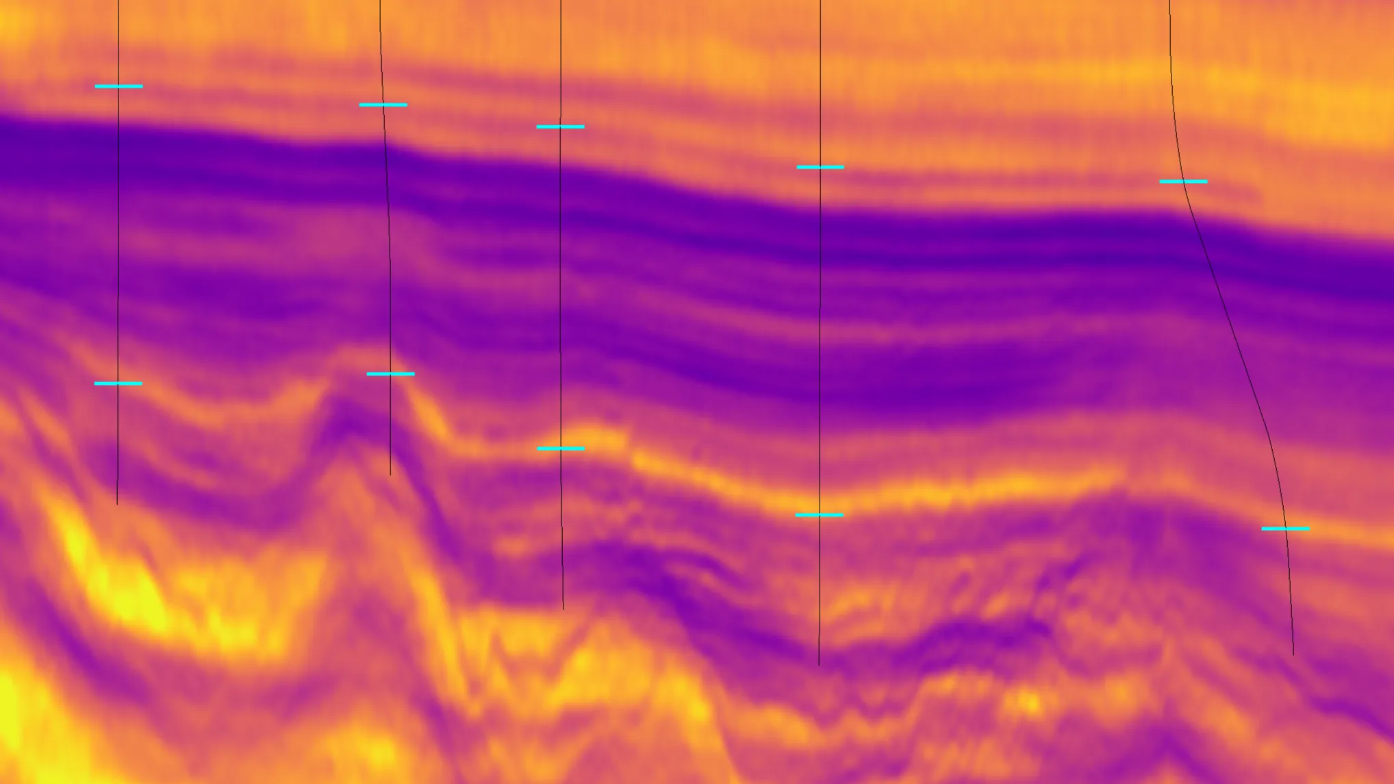
Elastic FWI for 3D and 4D Subsalt Imaging (US Gulf, Santos Basin)
This The Leading Edge article explores the application of Elastic TLFWI to subsalt imaging challenges in the US Gulf and the pre-salt of the Santos Basin, to enhance imaging and to provide better time-lapse 4D analysis to guide exploration and field development in the most complex settings.
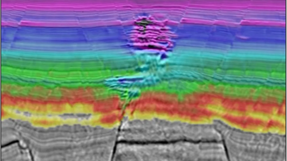
Unlocking Onshore Imaging Challenges with FWI (Oman)
The Middle East contains some of the most difficult conditions for onshore seismic imaging, with complex near-surface geology and varied surface conditions. This The Leading Edge article illustrates how TLFWI and FWI Imaging have been successfully applied to provide a step-change in subsurface understanding in complex settings.
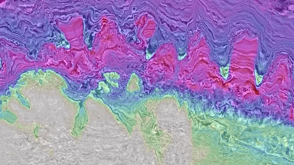
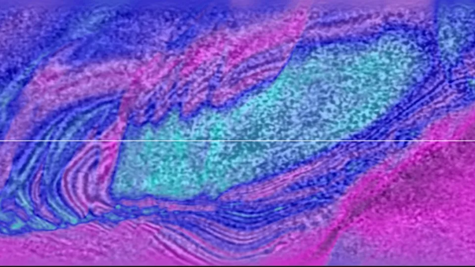
Resolving Reservoirs below Shallow Gas (Indonesia)
Shallow gas clouds frequently mask and distort seismic images of reservoir across Southeast Asia, leading to challenges for exploration and development drilling. In this 2024 EAGE paper by Chen et al., Q-TLFWI is used to re-image streamer data in the Andaman Sea, offshore Indonesia, delivering more accurate images of the shallow reservoir and its prominent flat spot, as well as delineating deeper faulted structures - supporting better drilling decisions.
Related Surveys
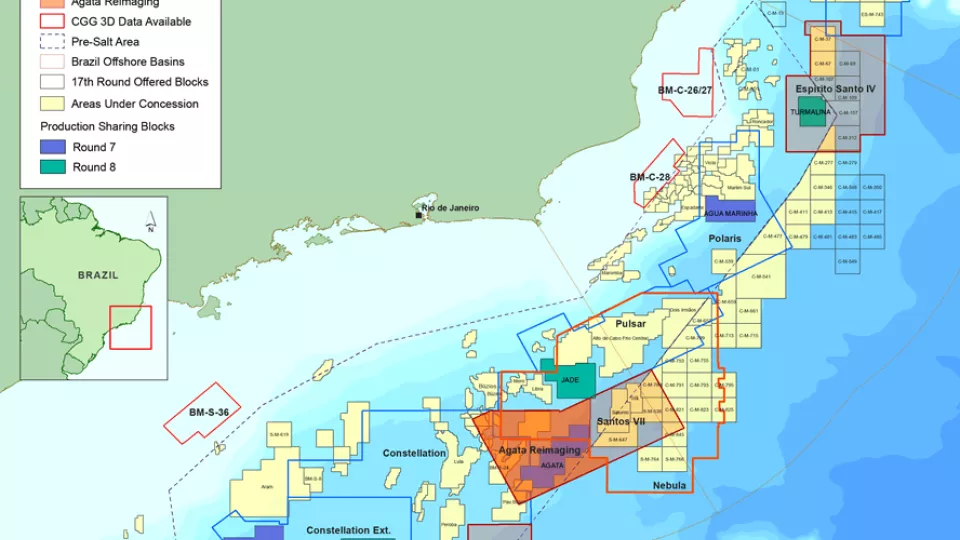
Santos and Campos Basins
Explore South America’s offshore pre-salt with high-quality, broadband, pre-stack depth migrated seismic data.
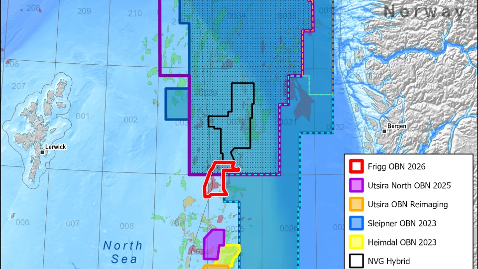
North Viking Graben
Get consistent broadband PSDM 3D seismic coverage in the North Sea with our Horda, Tampen and NVG South extension data sets.

Laconia US Gulf Sparse OBN
Laconia is the largest long-offset low-frequency sparse OBN survey in the US Gulf, providing a radical uplift in subsalt imaging across Garden Banks and Keathley Canyon.