Barreirinhas Basin
Identify new prospects along the Brazilian Equatorial Margin
Take advantage of multi-octave broadband technology to gain more knowledge of the potential prospects in the centrally located Barreirinhas Basin within the Brazilian Equatorial Margin. An integrated geological package is available to enhance subsurface understanding and help identify new plays and extensions to existing plays in explored and underexplored regions.
Products and processing highlights
- Deliverables include a TTI Kirchhoff PSDM and optional gravity and magnetic data
- Integrated geological and seismic project available for a more complete understanding of the potential prospectivity of this area
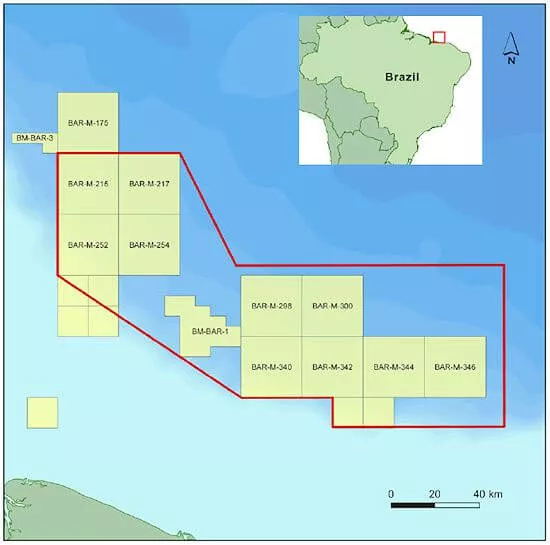
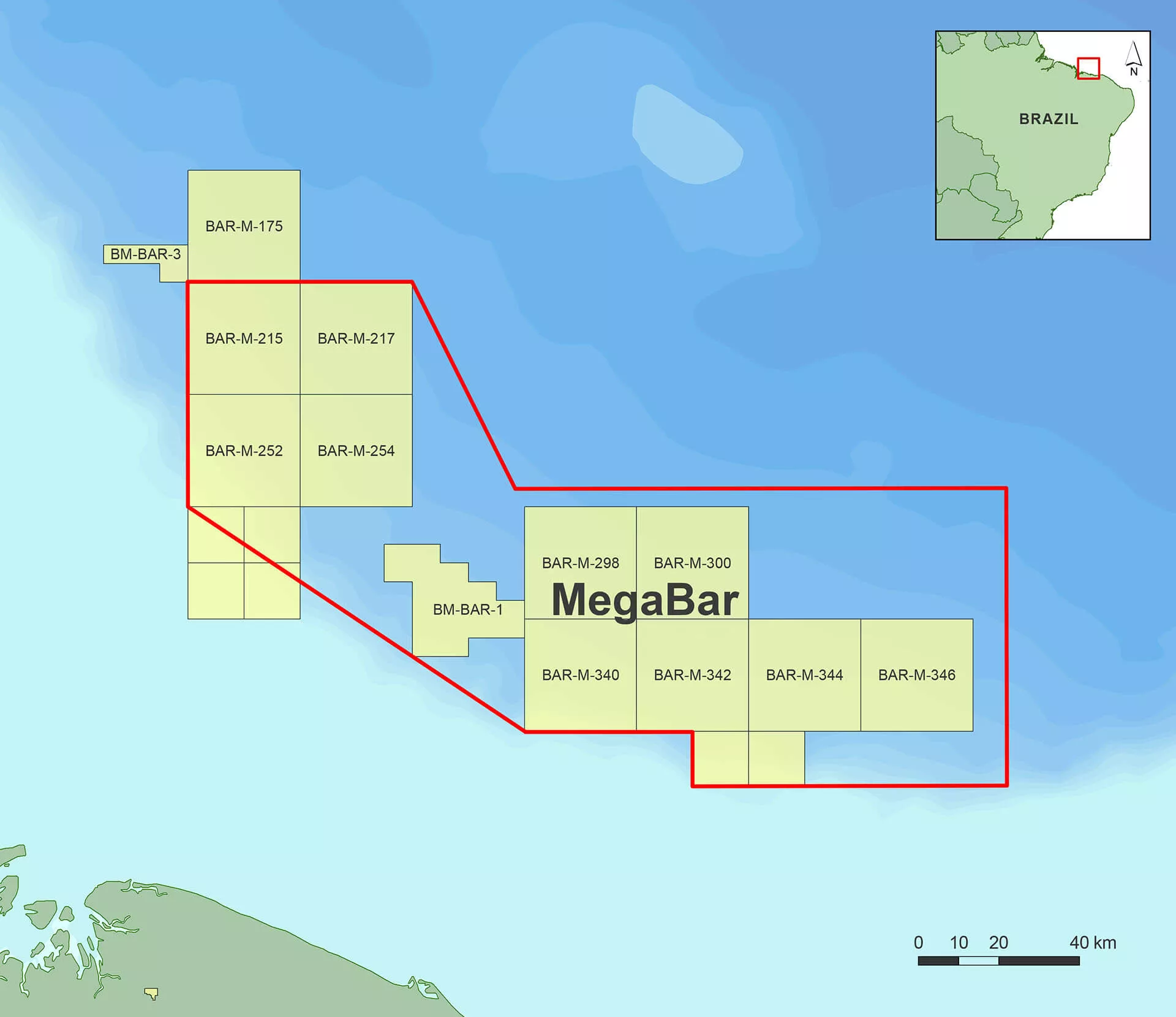
MegaBar
With water depths ranging from 200 to 3,300 meters, this 14,000 km2 BroadSeis™ survey provides reliable seismic data for structural and stratigraphic interpretation and prospect evaluation characterized by a broad spectrum and a good signal-to-noise ratio. The enhanced resolution of this dataset allows detection of channels, stratigraphic traps and fault networks, offering a better understanding of the full depositional system.
Related Surveys
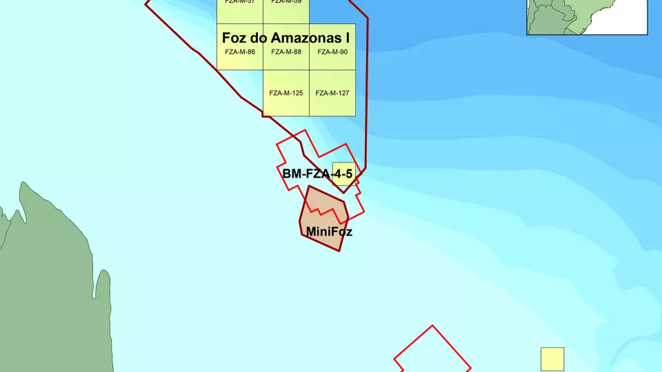
Foz do Amazonas
Gain a better understanding of geological potential with seismic data sets from the Foz do Amazonas Basin.
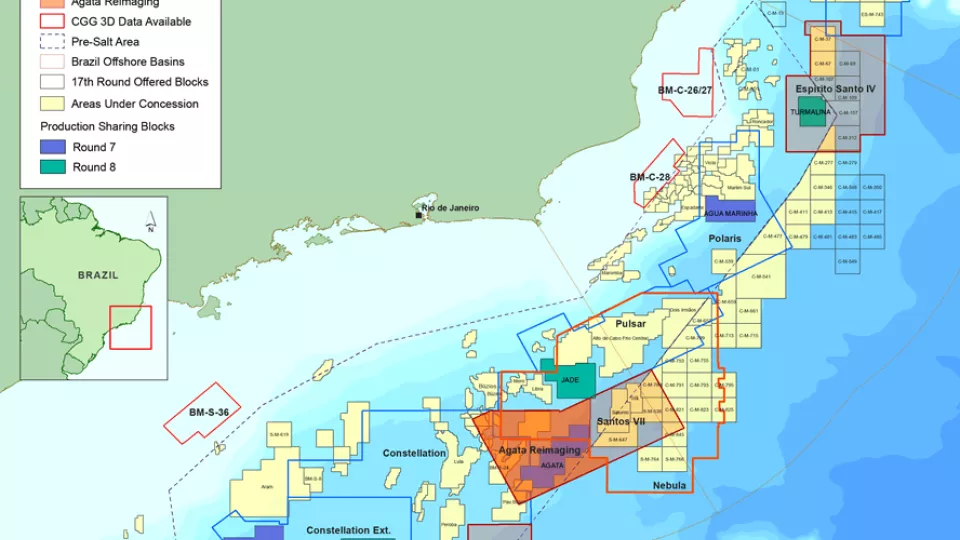
Santos and Campos Basins
Explore South America’s offshore pre-salt with high-quality, broadband, pre-stack depth migrated seismic data.
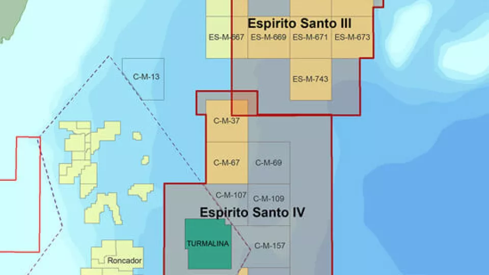
Espirito Santo
Access more than 22,000 km2 of high-quality 3D seismic data located at the southern end of the Espirito Santo Basin.
Explore available multi-client data using our interactive map.
Explore the GeoStore
