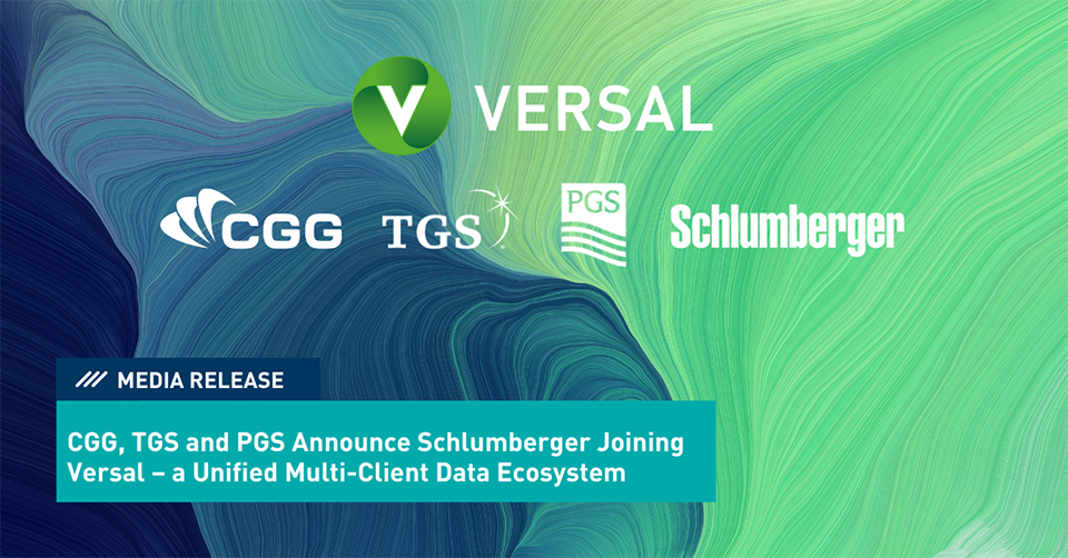
CGG, PGS and TGS Announce Schlumberger Joining Versal – a Unified Multi-Client Data Ecosystem
CGG, PGS and TGS, industry leaders of multi-client geoscience data, announce that Schlumberger has become a part of Versal, increasing its coverage to the vast majority of the world’s multi-client seismic data.
About CGG
CGG (www.cgg.com) is a global technology and HPC leader that provides data, products, services and solutions in Earth science, data science, sensing and monitoring. Our unique portfolio supports our clients in efficiently and responsibly solving complex digital, energy transition, natural resource, environmental, and infrastructure challenges for a more sustainable future. CGG employs around 3,300 people worldwide and is listed on the Euronext Paris SA (ISIN: 0013181864).
About PGS
PGS ASA and its subsidiaries (“PGS” or "the Company") is a focused marine geophysical company that provides a broad range of seismic and reservoir services, including acquisition, imaging, interpretation, and field evaluation. The Company MultiClient data library is among the largest in the seismic industry, with modern 3D coverage in all significant offshore hydrocarbon provinces of the world. The Company operates on a worldwide basis with headquarters in Oslo, Norway and the PGS share is listed on the Oslo stock exchange (OSE: PGS). For more information, visit PGS.com
About TGS
TGS provides multi-client geoscience data to oil and gas Exploration and Production companies worldwide. In addition to extensive global geophysical and geological data libraries that include multi-client seismic data, magnetic and gravity data, digital well logs, production data and directional surveys, TGS also offers advanced processing and imaging services, interpretation products, and data integration solutions. For more information visit TGS.com
About Schlumberger
Schlumberger (SLB: NYSE) is a technology company that partners with customers to access energy. Our people, representing over 160 nationalities, are providing leading digital solutions and deploying innovative technologies to enable performance and sustainability for the global energy industry. With expertise in more than 120 countries, we collaborate to create technology that unlocks access to energy for the benefit of all. Find out more at www.slb.com