EAGE 2025
Join us at the EAGE Annual in Toulouse
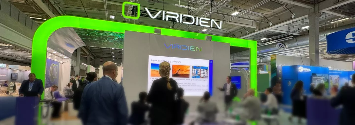
Visit our combined booth #1400 to connect with leading experts from our Viridien and Sercel teams who are pioneering geoscience, digital sciences and sensing and monitoring technologies.
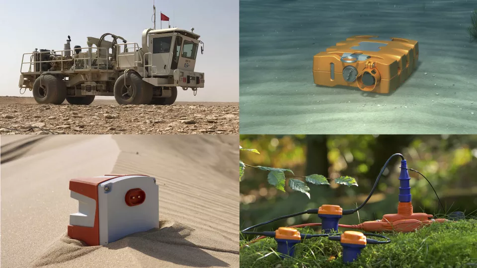
Don't miss the Sercel product launch on our booth on Tuesday, June 3rd at 10:00 am!
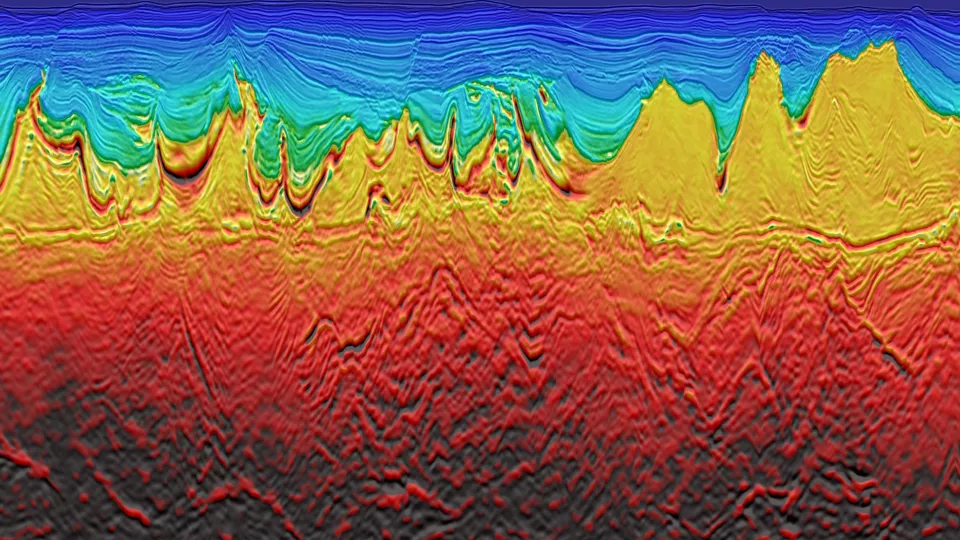
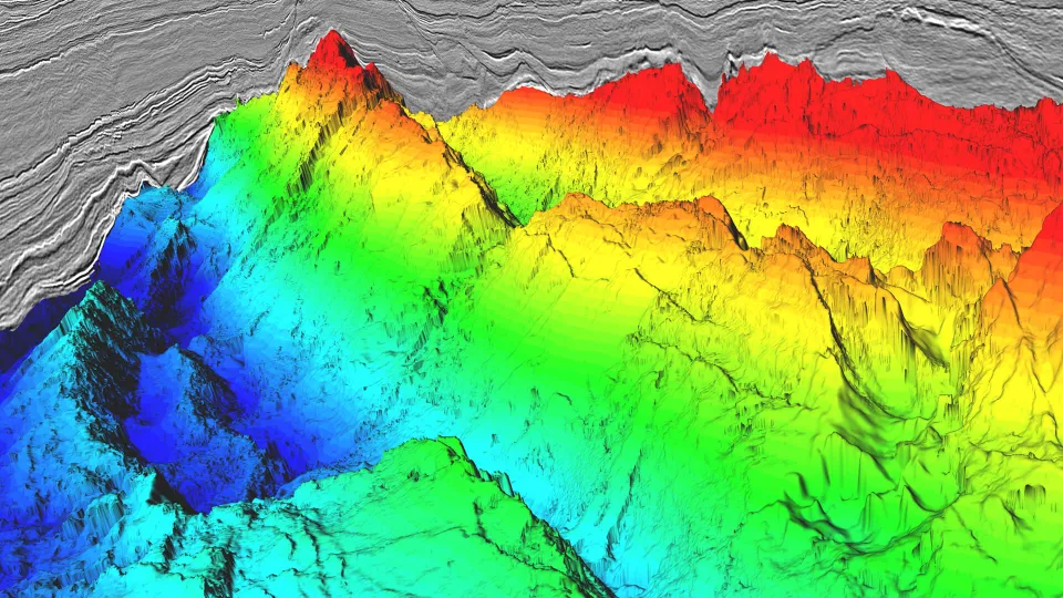
Dive into the latest FWI and OBN subsurface imaging technology, regional Earth Data imaging case studies and our market-leading Sercel equipment and seismic solutions with our engaging Booth Theater talks. Gain insights into key Energy Transition topics on carbon storage site screening and monitoring, critical mineral exploration datasets and ore body imaging. Learn about powerful seismic imaging with Geovation SaaS, ML & AI, and discover orchestrated data transformation solutions from our Data Hub team.
Join us for a Happy Hour drink on our booth theater at 4:30 pm to see keynote presentations:
Tuesday: Repurposing seismic data for CCS - a case study from the Norwegian North Sea
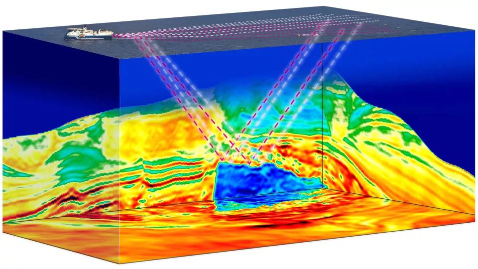
Wednesday: The next big step in subsalt imaging - FWI and low-frequency long-offset OBN
We have contributed to 29 papers in the EAGE technical program, in addition to eight workshop presentations. Some of our key presentations include the latest developments in our innovative imaging technologies such as Elastic FWI, FWI Imaging, OBN and onshore imaging, illustrated with case studies from Europe, Brazil and the Middle East.
We look forward to seeing you at the EAGE Annual 2025!
STRATEGIC PROGRAM SESSIONS

Navigating change: Geosciences shaping a sustainable future
Sophie Zurquiyah, CEO
Opening Ceremony Debate
Monday, June 2nd, 4:00 - 6:00 pm
Are geosciences equipped for the energy transition?
Chris Page, Head of New Businesses Development
Tuesday, June 3rd, 3:00 - 4:00 pm
Geoscience skills shortage - a threat for energy transition?
Zuo Xu, Business Development Manager, Sub-Saharan Africa
Thursday, June 5th, 10:40 - 12:00 pm
Impact of AI on future ways of working
Song Hou, Head of AI Lab
Thursday, June 5th, 12:20 – 1:20 pm
